“The love of wilderness is more than a hunger for what is always beyond reach; it is also an expression of loyalty to the earth … the only home we shall ever know, the only paradise we ever need — if only we had the eyes to see.” – Edward Abbey
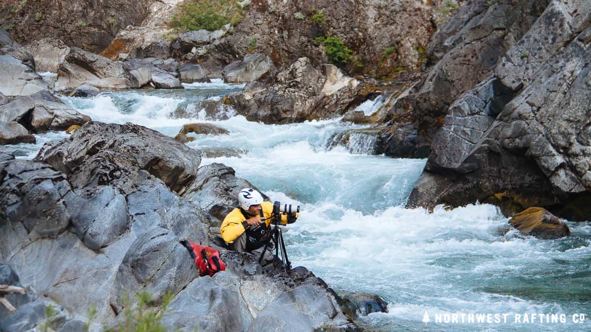
Last week we explored the National Wild and Scenic Chetco River, a little known entirely free-flowing river with its headwaters and almost half its watershed in the Kalmiopsis Wilderness. Our team was Zach Collier, Andy Maser, J.R. Weir, and Billy Miller.
To the south of the Chetco River is the National Wild and Scenic North Fork of the Smith River and to north, the National Wild and Scenic Illinois River both are wonderful rivers to run and definitely personal favorites of mine. I’ve always wanted to make it down the Chetco, but it’s seldom been run because of its remoteness. The 2002 Biscuit Fire made the river access even more challenging but I was excited I was finally going to see the Wild Chetco River.
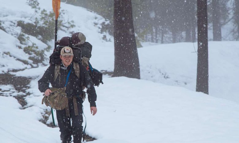
Hiking to the Chetco River
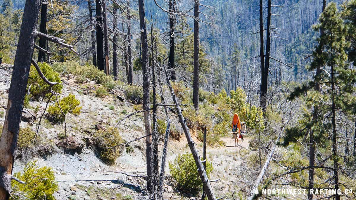
The trip typically begins with a 4 mile hike downhill to the river from Chetco Pass, but the old 4-wheel drive mining road up to the Pass was closed by a Port Orford Cedar gate (this year was unseasonably wet and has led to road closures to stop the spread of Port Orford Cedar root disease).
The closed gate meant an additional five mile hike uphill carrying our overnight gear and kayaks on our backs grueling, but everyone was in good spirits and excited to get on the water and out of cell phone range.
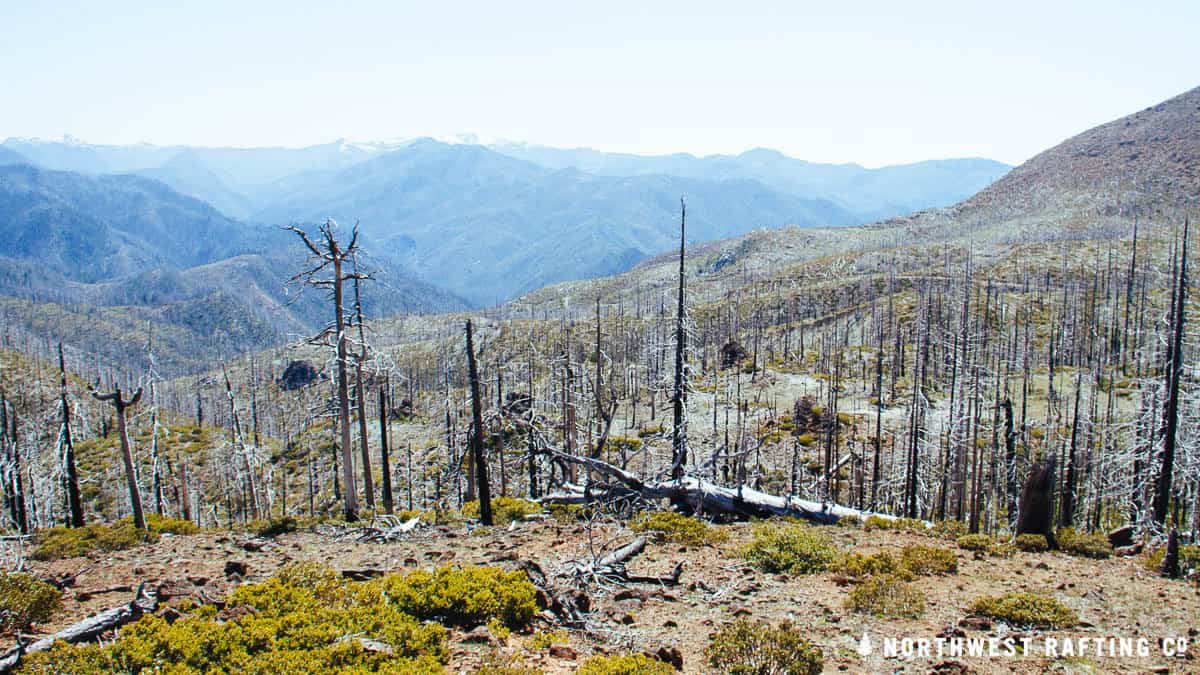
At the Pass on the edge of the Kalmiopsis Wilderness and the watershed divide between the Chetco and Illinois we looked down into Slide Creek, and deep below, the Chetco River Canyon.
We were ecstatic and looking forward to a quick 4 mile hike down to the river. Other groups had had issues finding the trail down to the put-in, but we were confident that it couldn’t be much harder than the hike we had just done. After a mile or so, we lost the trail and found ourselves hiking through thick brush on the side of the hill. We decided to lower our boats down to Slide Creek where we could camp for the night near water.
The next morning we tried following Slide Creek from above but the canyon walls became increasingly steep and chock full of brush. Instead of battling brambles, we opted to drop into the creek and muscle our way downstream.
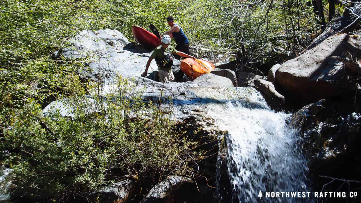
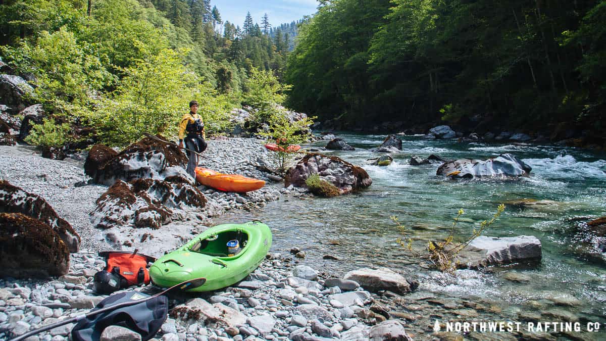
Our GPS said the Chetco was 1.2 miles away. We spent the next 8 hours covering 4 miles of meandering creek, hauling our kayaks over logs and lowering them down waterfalls. At 4 PM on the second day, we finally reached the Chetco River both exhausted and overjoyed. We were thrilled to finally see the amazingly clear water and incredible beauty of this wild river we’ve been thinking about for years.
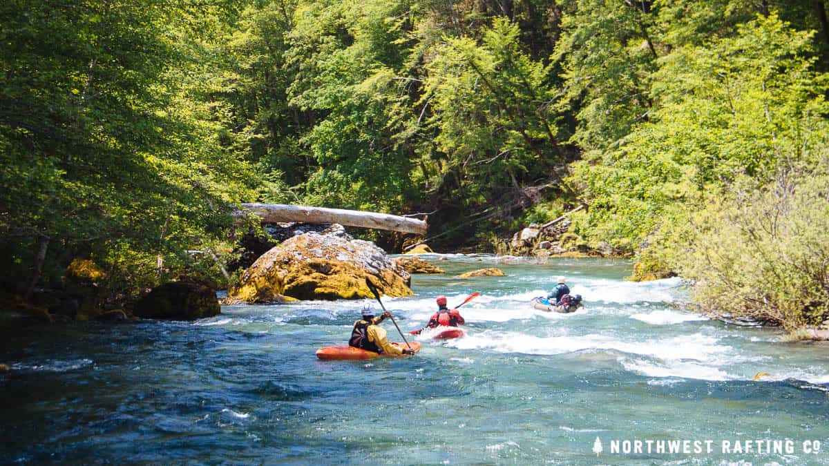
On the River
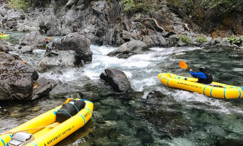
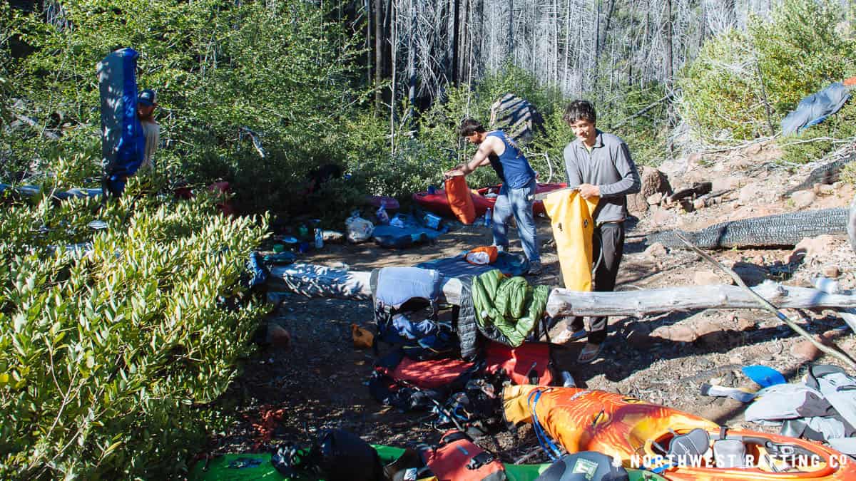
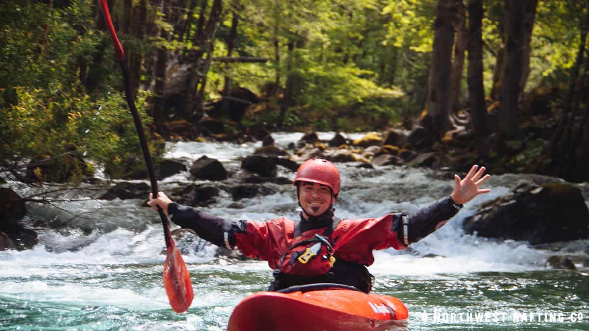
We couldn’t wait to get in our kayaks and paddle a few miles. After running some great rapids that evening, we found a small camp at dusk and spent the night in the middle of the upper gorge of the Chetco, in the heart of the Kalmiopsis Wilderness.
The next morning our day started with a long series of beautiful Class IV rapids. The Chetco River from Slide Creek to Taggart’s Bar is full of awesome Class IV/IV+ rapids in a tight gorge.
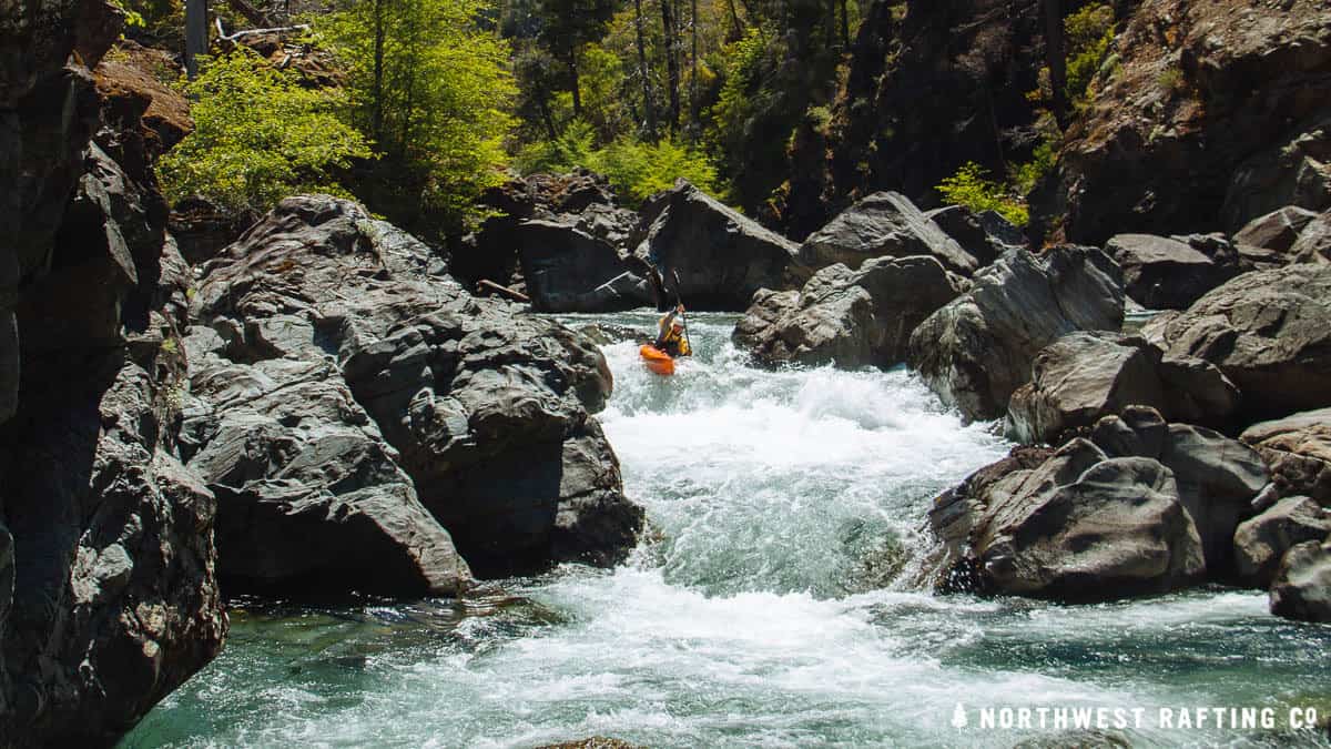
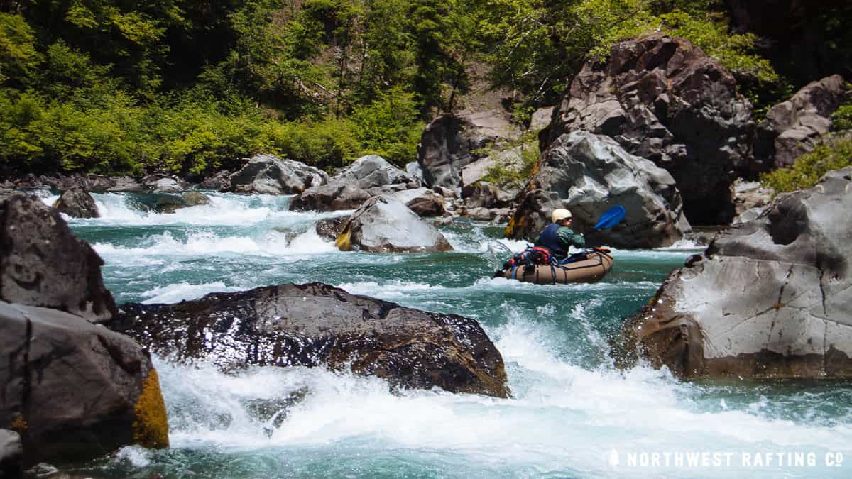
We had lunch at Taggart’s Bar and continued downstream to run Class II/III, with a few big Class IV rapids thrown in on occasion to keep things interesting. We made great time and camped a mile or so below Tin Cup Creek at a beautiful site on river right.
The next morning, within a few minutes of pushing off, we passed Boulder Creek at the western boundary of the Kalmiopsis Wilderness.
This is where the current Wild and Scenic designation changes from “wild” to “scenic”. The proposed Chetco River Protection Act would re-classify the next 2 miles of the Chetco, preserving and protecting it as a “wild” river, just as it deserves. The act would also withdraw the rest of the river (except a short stretch of private land) to the National Forest boundary from the 1872 Mining Law protecting it from proposed mining operations.
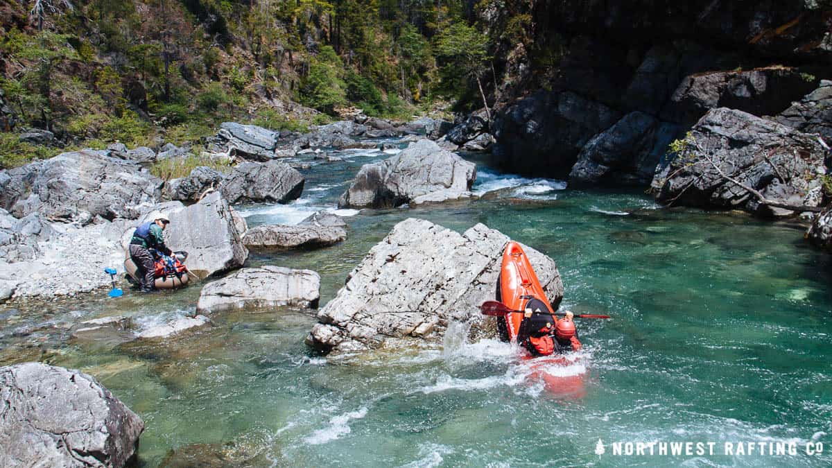
The Chetco between Boulder Creek and Mislatnah Creek is remote and stunningly beautiful with many great Class III and IV rapids along the way. Most groups take out just past Mislatnah Creek at the Tolman Ranch (a private inholding) but we decided to go further and see the lower canyon of the Chetco where we heard there were 2 bigger rapids.
This section started off slow and picked up with some great whitewater. We finally found the two great rapids which we were able to boat scout and run without a problem.
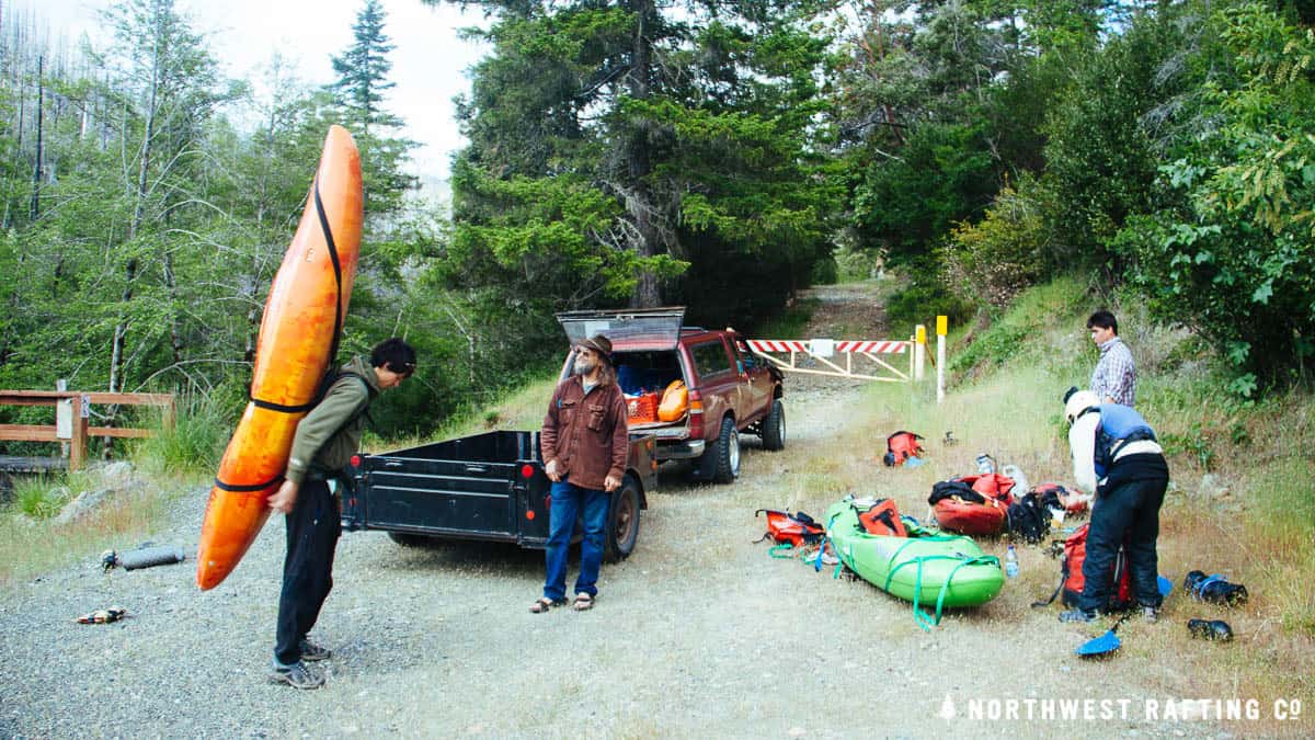
Our trip ended at the steel bridge and none of us were excited to be done. The trip was challenging, but we all wanted to spend more time in the Chetco River Canyon. Next time we’ll plan to visit longer, with hopefully an easier trip in.
Notes for boaters: This trip was done at 1300 cfs and dropping. We estimated that we had around 500 cfs at our put-in at the mouth of slide creek. This flow was mostly Class IV/IV+ and we would have liked a bit more water overall. At flows around 2000 cfs the upper gorge would get pushy and eddies small.
Learn more about the Wild and Scenic Chetco River and how to help protect it at saveourchetco.org.