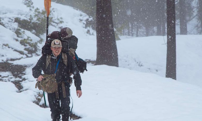
Last week I went out with a few of my trusted boating buddies to run the beautiful Rough and Ready Creek, which is a tributary of the Illinois River in Southern Oregon.
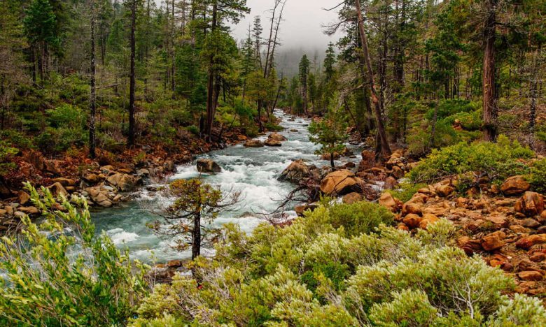
Rough and Ready Creek flows from the Kalmiopsis Wilderness, through the South Kalmiopsis Roadless Area and the Rough and Ready Botanical Area and Area of Critical Environmental Concern. With the West Fork Illinois River, it hosts to the highest concentration of rare and endemic plants in Oregon and one of the highest in North America. Rough and Ready Creek is eligible to be added to the National Wild and Scenic River System and in 2004 the Forest Service recommended that congress add much of its watershed to the Kalmiopsis Wilderness.
Proposed Nickel Mining
Rough and Ready Creek is also threatened by nickel strip mining and 4,360 acres of its watershed subject to one of the largest 1872 Mining Law patent applications in the nation. If granted, it would result in much of this beautiful river being sold for $2.50 per acre to the applicant.
The ecosystem of Rough and Ready is fragile and the old mineral exploration tracks that enter the watershed have been closed to motor vehicle use by the Forest Service because of the rare plants, stream crossings and to prevent the introduction of Port Orford cedar root disease and the loss of the magnificent ancient cedar along it. Infestation of a watershed with the non-native pathogen is essentially irreversible. It has destroyed Port Orford Cedars in many other river drainages but has not found its way into the Rough and Ready Creek watershed and steps must be taken to keep these ecologically irreplaceable trees disease-free. The pathogen is spread by vehicles, in mud and water and through equipment that carry its microscopic spores from infected areas.
If you choose to paddle Rough and Ready Creek, you must thoroughly wash all your equipment with chlorinated water before entering the watershed. Since the roads are closed to help prevent the spread of this disease, you’ll need to do a fair amount of hiking to see this beautiful creek.
Hiking to Rough and Ready Creek
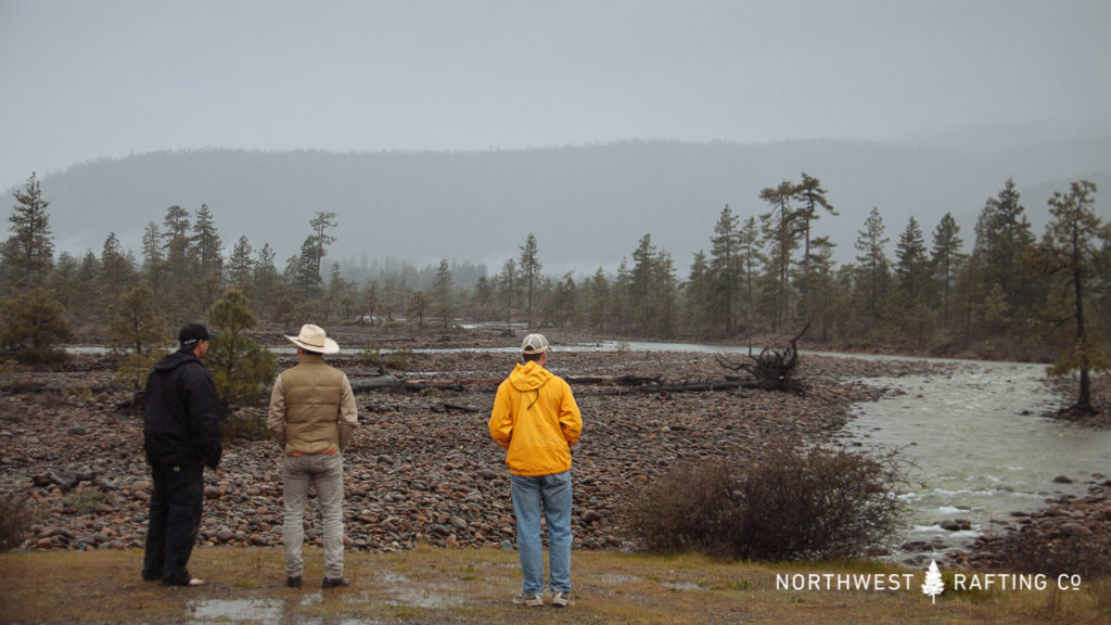
We started by parking at a gate and hiking about a mile up to where the road first crosses Rough and Ready Creek. This is where other parties have put-in and boated down to Highway 199. We forded the creek and continued further upstream.
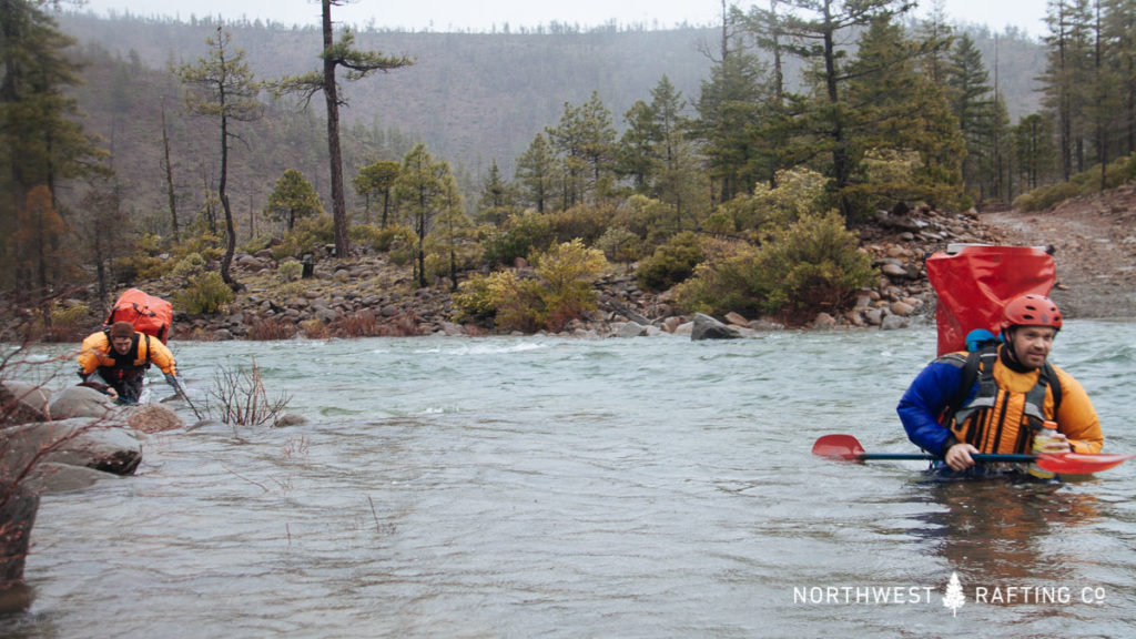
After an hour of hiking we reached the confluence of the South and North Forks of Rough and Ready Creek. We decided to continue up the North Fork as it was very inviting and had plenty of water.
The North Fork of Rough and Ready Creek
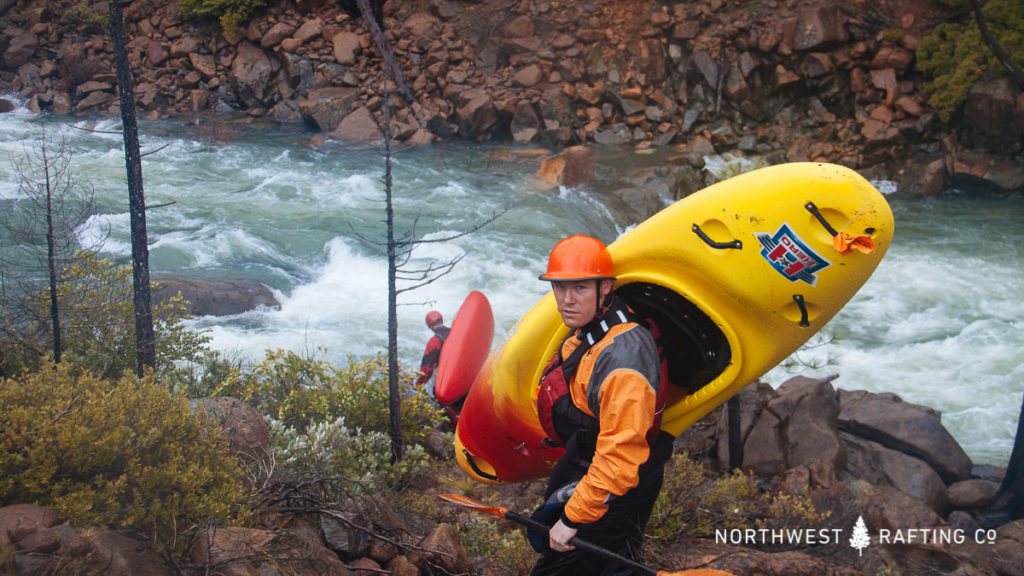
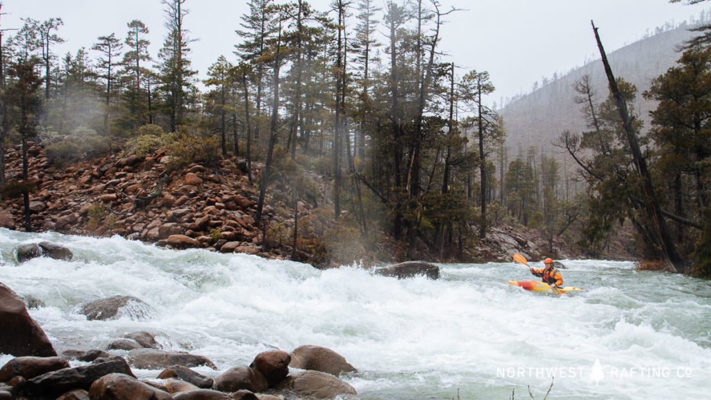
We hiked another hour up the North Fork and chose a put-in just above some continuous whitewater to start paddling 2 kayaks and 2 IKs.
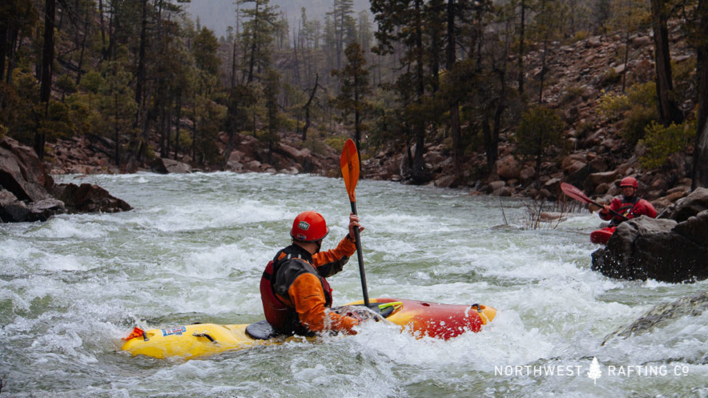
The whitewater was fairly continuous with a few easy Class IV rapids. The scenery was absolutely stunning. We stopped at a beautiful island rapid to take photos and look at the rare Darlingtonia Californica (aka Pitcher Plant or Cobra Lily) that was riverside, about halfway down the rapid.
Darlingtonia Californica
The Pitcher Plant is a carnivorous plant that uses ultraviolet guides and downward pointing hairs to guide insects into its core and trap them, where they fall into the water stored its “pitcher”.
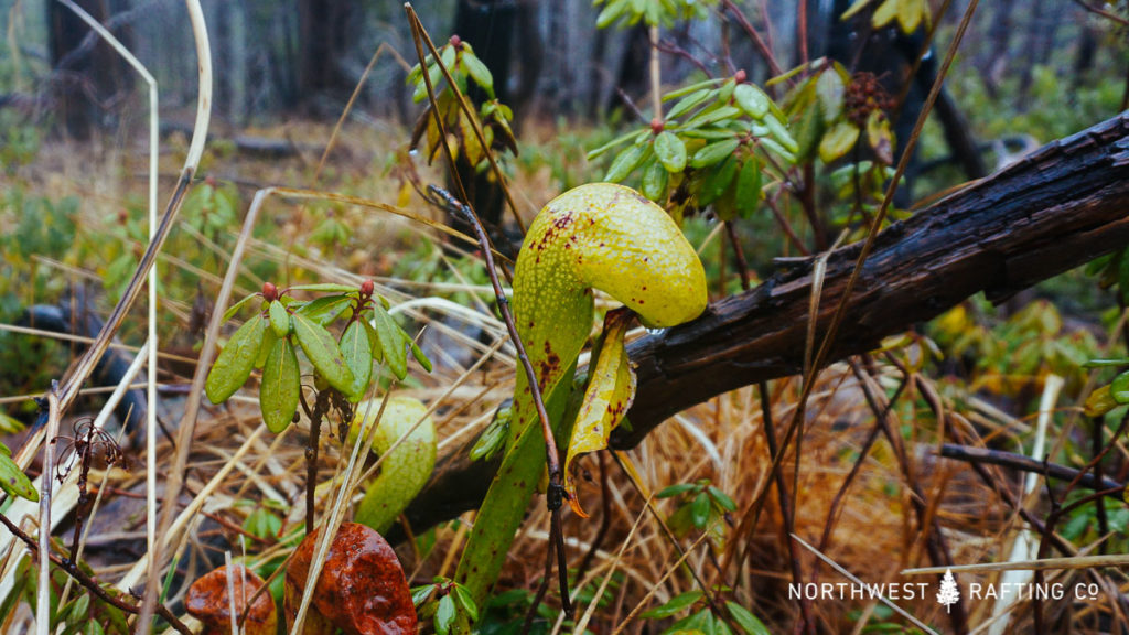
The water in the pitcher comes up from its roots (surprisingly, not rainwater), so these rare plants are only found in damp areas near rivers and creeks.
After the South Fork Confluence
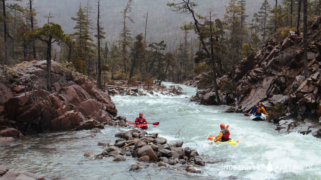
We soon arrived at the confluence with the South Fork. After some great rapids and beautiful scenery we paddled through the road crossing where we had forded the creek a few hours before.
There were more rapids with big holes in a section of braided channels as we paddled through the Rough and Ready Botanical Area. There was a dangerous weir (Seat Dam) in this section of the creek that we all chose to portage.
We stopped to scout a Class IV rapid in this section that looked VERY intimidating from the top due to a jumble of undercut rocks and some big boily cushions. But, there were two straightforward lines, and we all ran it without incident.
We soon made it to the Highway 199 bridge and were ecstatic with the quality of the rapids and spectacular scenery we found. We’re all excited to wash our boats (with chlorinated water, of course) and go back to check out the South Fork of the Rough and Ready!