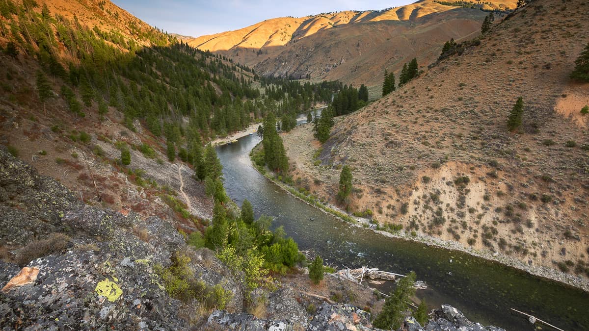
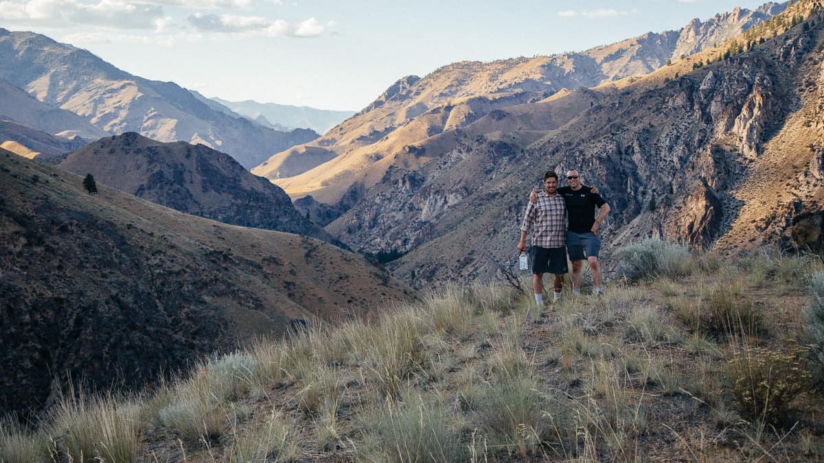
Still looking for that perfect landscape photo or Instagram selfie? The Middle Fork of the Salmon River is a great place for photographers to hike and capture sweeping vistas of the vast Frank Church-River of No Return Wilderness. The Middle Fork Trail follows the first 80 miles of the river from Boundary Creek to Big Creek, allowing for access to countless river views and side trails. You and your camera might like these suggestions for hikes that hide some breathtaking landscape and selfie photo moments.
Mile 38.1: Jackass Overlook
From Upper Jackass Camp, hike the Middle Fork Trail 10 minutes downriver, just past Jackass Gulch. You’ll see a slightly worn game trail that will take you up a steep 400-foot climb to the Jackass Overlook. This is an especially great place to watch the sun rise or set over Upper Jackass Camp.
Mile 66.4: Aparejo Point
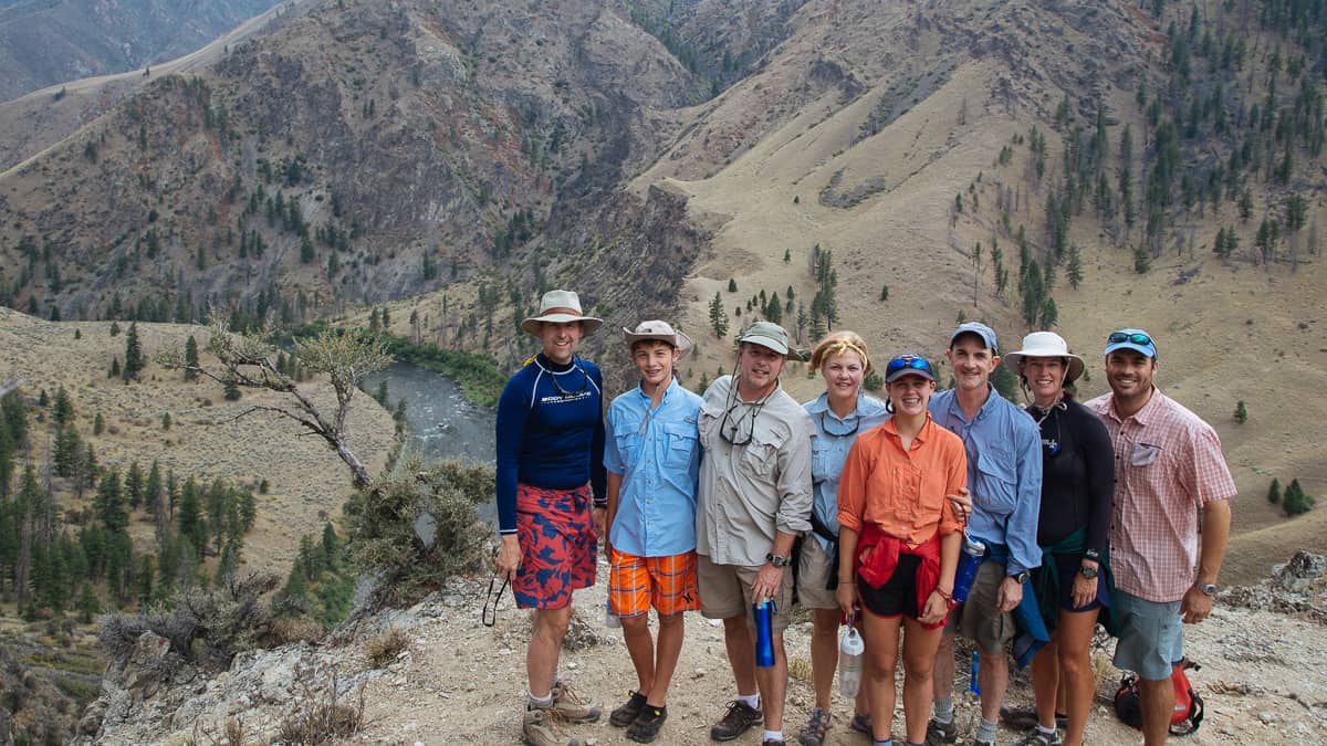
If you’re camping at Trail Camp, the hike to Aparejo Point is a 600-foot climb on the Old Aparejo Trail. A few minutes after you head upstream on the Middle Fork Trail, look for a steep lightly used trail on the left that heads uphill. There is a great place to regroup and enjoy a view of the Aparejo Canyon about halfway up. From the top you can see Funston camp if you look upstream and Johnson Point if you look downstream.
Mile 71.2: Johnson Point Hike
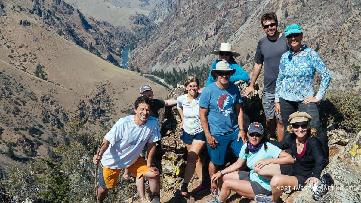
This classic hike to a beautiful viewpoint climbs 1,200 feet from Little Pine Camp to Johnson Point. This is a tough hike that gives you some of the best views of the Middle Fork along and is perfect for group photos and selfies. If you’re not camping at Little Pine, there’s access to the trail from the river just above the camp. Most of this hike will take you up switchbacks in direct sun, so be sure to bring sun protection and plenty of water.
Mile 74.5: Rattlesnake Ridge Overlook
The easiest way to reach this viewpoint is to start at Woolard Camp and hike the Middle Fork Trail back upstream to a ridge 500 feet above the river. This viewpoint can also be reached via an off-trail scramble up Rattlesnake Creek that begins at Rattlesnake Cave.
Mile 80.3: Veil Cave
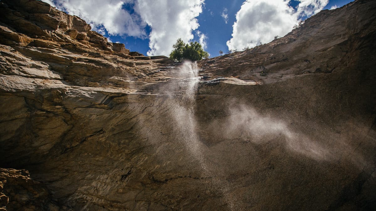
This may be the most popular hike on the Middle Fork – for good reason. It’s a steep 400-foot climb over boulders to a huge amphitheater with a waterfall coming over the top. You’ll want to bring a wide-angle lens to capture the whole cave and a waterproof camera to take a selfie under the waterfall.
Do you have a favorite hike or place to take photos on the Middle Fork? If so, please share it with others in the comments below!