In 1968 the U.S. Congress created the National Wild and Scenic Rivers System with passage of the Wild and Scenic Rivers Act. The bill was in response to increasing diversion and impoundment of water, pollution, introduced species, wildfires, poor management of adjacent lands and other human pressures on rivers.[i] It was sponsored by Senator Frank Church (D) of Idaho and signed into law by President Lyndon B. Johnson. The act strove to collaboratively balance development and protection of outstanding free-flowing rivers for current and future generations. [ii]
The 8 Charter Wild and and Scenic Rivers
- Middle Fork of the Clearwater River, Idaho
- Eleven Point River, Missouri
- Middle Fork of the Feather River, California
- Rio Grande, New Mexico
- Rogue River, Oregon
- Saint Croix River, Minnesota and Wisconsin
- Middle Fork of the Salmon River, Idaho
- Wolf River, Wisconsin
The Wild and Scenic Rivers System now protects 208 rivers and river segments with 12,708.8 miles in 40 states and Puerto Rico.
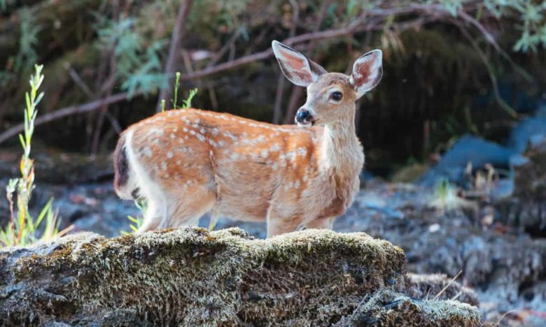
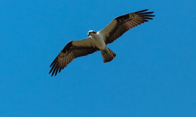
“When we save a river, we save a major part of an ecosystem, and we save ourselves as well because of our dependence – physical, economic, and spiritual – on the water and its community of life.”[iii]
Basics of the Wild and Scenic Rivers Act
The Wild and Scenic River System is the primary river conservation authority in the United States. The legislation for the act outlines 3 main components; how a river becomes part of the national system, how each river is managed, and what kinds of developments can occur within a river’s corridor.
A river is eligible to qualify for federal designation if it is:
- In a free-flowing condition
- Has good water quality
- And has one or more of the following out-standing features, scenic, recreational, geologic, hydrologic, fish, wildlife, ecological, historic or cultural.
The federal government shares management, administration, and regulation responsibilities with the Bureau of Land Management, National Park Service, U.S. Fish and Wildlife Service and the U.S. Forest Service. The act requires that each river have an established boundary and buffer zone, classification of river segments, and a comprehensive river management plan.
Wild and Scenic Classifications
How a river is designated within the system is the basis for it’s management plan. These designations are wild, scenic, or recreational.
Wild rivers are free from dams, diversions, or anything that impounds the water move through them. They are generally only accessible by trail. The watersheds of these rivers are classified as primitive and the banks are undeveloped.
Scenic rivers are free from impoundments and undeveloped areas, but are accessible in places by roads.
Recreational rivers are accessible by road, may have development on the banks, and may have been subject to some impoundment or diversion in the past.
These designations change throughout the course of a Wild and Scenic River. On the Rogue the Wild and Scenic designation begins near Grant Pass as “recreational.” At Grave Creek it changes to a “wild” designation and has “recreational” and “scenic” designations downstream of Foster Bar.

Oregon Wild & Scenic Rivers
For the 50th anniversary of the Wild and Scenic Rivers Act our guides plan to visit all 58 of Oregon’s Wild and Scenic Rivers. We will be keeping a running tally of these rivers as we hike along and paddle each of them.
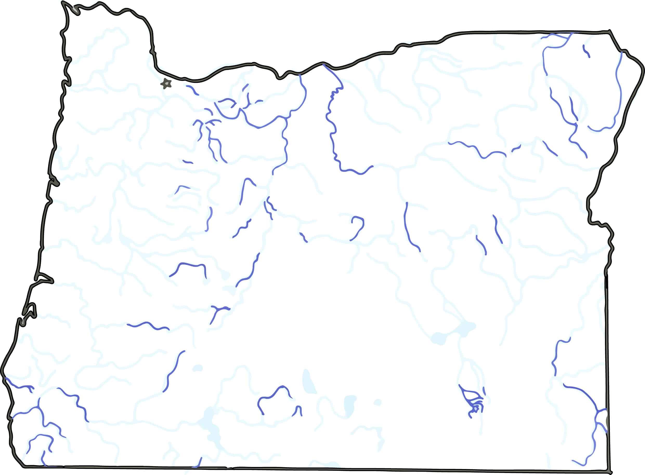
The Rivers
Big Marsh Creek
Chetco River
Clackamas River
Clackamas River (South Fork)
Collawash River
Crescent Creek
Crooked River
Crooked River (North Fork)
Deschutes River
Donner und Blitzen River
Eagle Creek (Mt. Hood National Forest)
Eagle Creek (Wallowa-Whitman National Forest)
Elk River
Elkhorn Creek
Fifteenmile Creek
Fish Creek
Grande Ronde River
Hood River (East Fork)
Hood River (Middle Fork)
Illinois River
Imnaha River
John Day River
John Day River (North Fork)
John Day River (South Fork)
Joseph Creek
Klamath River
Little Deschutes River
Lostine River
Malheur River
Malheur River (North Fork)
McKenzie River
Metolius River
Minam River
North Powder River
North Umpqua River
Owyhee River
Owyhee River (North Fork)
Powder River
Quartzville Creek
River Styx
Roaring River
Roaring River (South Fork)
Rogue River
Rogue River (Upper)
Salmon River
Sandy River
Smith River (North Fork)
Snake River
Sprague River
Sycan River
Wallowa River
Wenaha River
West Little Owyhee River
Whychus Creek
White River
Wildhorse & Kiger Creeks
Willamette River (North Fork Middle Fork)
Zigzag River
Follow our progress at OregonWildandScenic.com.
[i] Cole, David N., Landres, Peter B. Threats To Wilderness Ecosystems: Impacts And Research Needs, Ecological Applications. 1996. pp. 168-l The Ecological Society of America. http://www.fs.fed.us/
[ii] Jennings, Sue. Celebrating 40 Years of the Wild & Scenic Rivers Act: An Evolution of River Protection Strategies. Wild and Scenic Rivers, Volume 25, Number 2, 2008. http://www.georgewright.org/
[iii] Palmer, Tim. The Wild and Scenic Rivers of America. pp. 4 Island Press, Washington DC 1993
[iv] Rogue River Float Guide. America’s Great Outdoors. 2004 pp. 2-4 Bureau of Land Management, Department of the Interior. http://www.blm.gov/