High water on the Middle Fork of the Salmon River begins at 5 feet when the river is quite continuous, the water is cold, and recovery from a flip or swim can be difficult.
Here are some things to consider before paddling the Middle Fork at high water:
- Everyone should have PFDs that fit them well, have plenty of flotation, and are relatively new
- Wetsuits or drysuits should be mandatory for everyone
- Guides should be experienced with high water, proper boat spacing, and flipping rafts back over
- Everyone should be in good physical shape
- Consider having a highly competent safety cataraft and/or safety kayaks
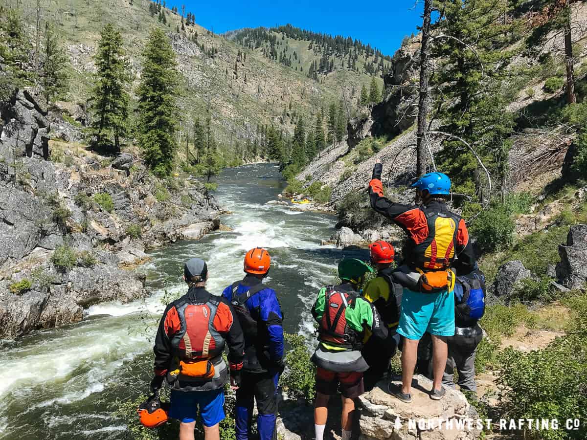
- You need to be familiar with and trust the people you’re boating with
- Consider booking a trip with a professional Middle Fork outfitter

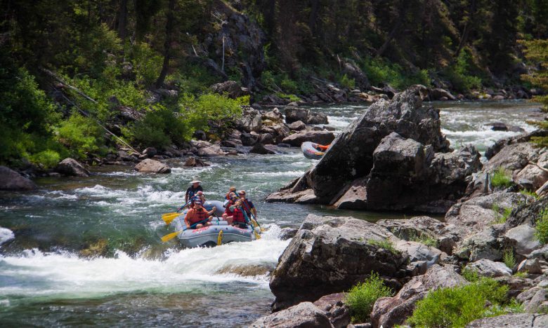
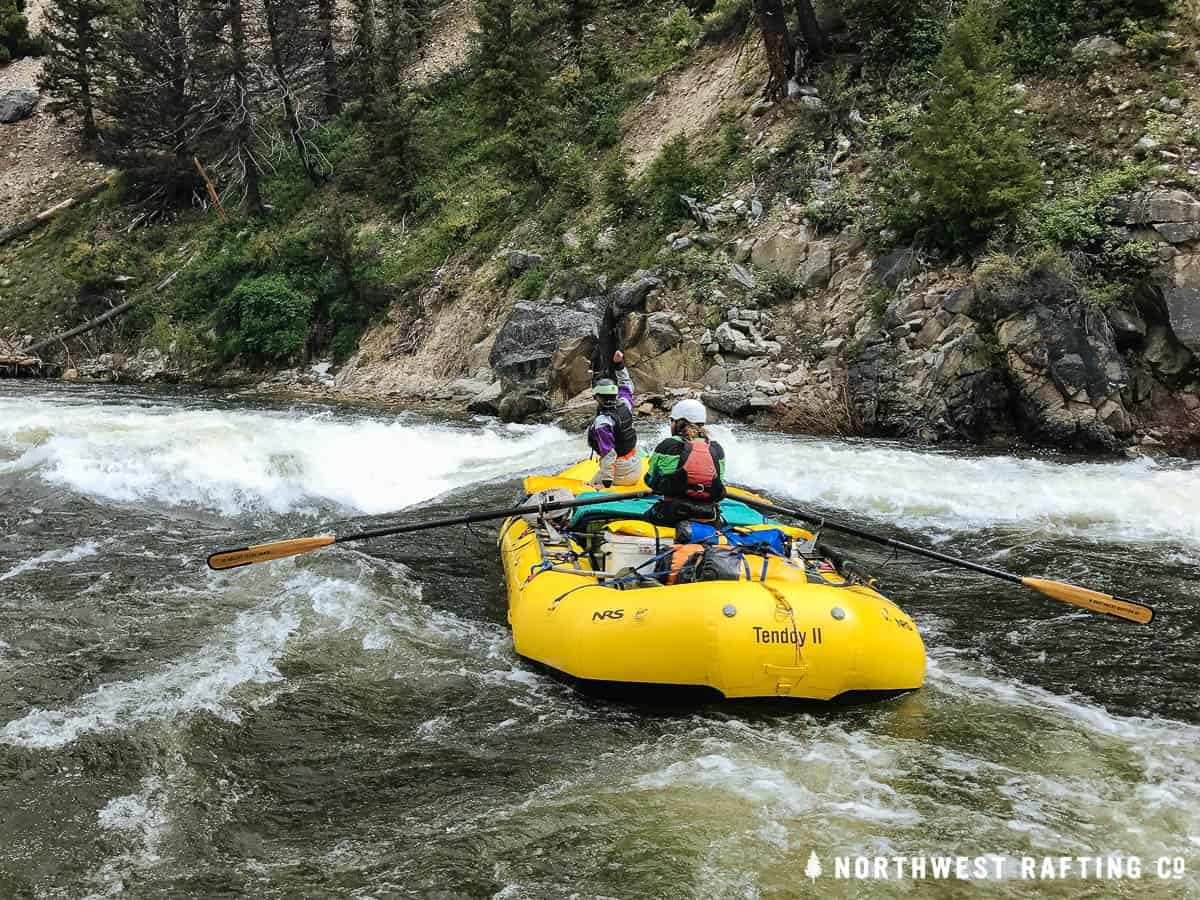
5-6 Feet: The river is continuous with few eddies in the first 22 miles. Flips are very possible. Everyone on the trip needs to be prepared for the possibility of a long cold water swim.
6-7 Feet: The continuous nature of the river makes flips and/or swims very difficult to recover. Boating groups should have experience boating together as a team, know the river well, and everyone needs to be in good physical shape.
7 Feet and Higher: These extreme flows should only be attempted by teams of very experienced boaters who know the river well at high water, have a lot of high water boating experience, and have experience boating together on demanding rivers.
To get a sense of the predicted river level visit the National Weather Service Advanced Hydrologic Prediction Service.
Other Considerations
At high flows you need to ask:
- Is the river rising?
- Could the weather forecast cause the river to rise further?
- Is there wood floating in the river?
If you answer “yes” to any of these questions the river is unpredictable and you need to rethink whether it is safe to launch your trip. If there are large logs floating in the river you should not launch. If a trip is in progress you need to wait until the river drops and logs stop floating down the river.
Flying into Indian Creek
Most people consider first 22 miles from Boundary Creek to Pistol Creek as the most difficult at high water. If you are worried about the river being too high or other river conditions being dangerous then consider flying everything into the Indian Creek Airstrip to avoid the upper section.
Some of the Important Places at High Water
Below is a partial list of some of the important places of note at higher flows.
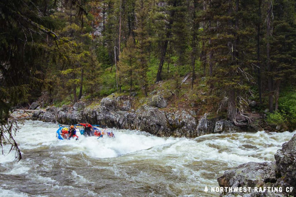
Mile 0.9: Murph’s Hole is a huge almost river-wide hole that will flip most boats that go into it. Most people pull to the left bank to avoid it. It’s a good idea to hike down from Boundary Creek to scout the rapid and its entrance before you launch. A flip and/or swim here would be really hard to recover from.
Mile 1: Teepee Hole has a good sized eddy on the left that should be used to regroup.
Mile 4.7: Hell’s Half Mile is a long rapid and one of the most dangerous due of the possibility of a very long swim. There is a big diagonal on the left at the bottom that will flip most boats. If you have a flip or swim here it will be nearly impossible to recover before Velvet Falls.
Mile 5.1: Catch the left side eddy after Hell’s Half Mile to scout Velvet Falls.
Mile 5.3: At high water Velvet Falls forms a huge almost river wide hole. Above 6 feet it’s possible to go left of the large rock and miss the hole completely. You should scout this one and set downstream safety.
Mile 21.7: Eddy out on the right above Lake Creek to scout Lake Creek Rapid and Pistol Creek Rapid.
Mile 22.1: Pistol Creek Rapid has huge lateral waves and holes and is one of the largest rapids at high water.
Mile 32.4: Eddy out at Marble Left Camp and hike down to scout Ski Jump Rapid.
Mile 33: Ski Jump Rapid is one of the biggest and most powerful rapids at high flows and should be scouted by walking down from Marble Left Camp. There are a few possible runs here and most people run the far right side at higher flows.
Mile 54: Cub Creek Waves has huge breaking waves that can flip boats. You can avoid the breaking waves by staying right.
Mile 59: The recently formed Tappan 2.5 (aka Cove Creek Rapid) is still changing and should be scouted if possible.
Mile 69.6: Cold Springs Rapid has a big wave train that can flip boats.
Mile 82.2: There are some huge holes at Redside Rapid that can be missed by taking sneak lines on the far right or the far left.
Mile 88.5: Lower Cliffside has some huge holes that can be avoided by hugging the far left against the wall.
Mile 91.1: Rubber Rapid has huge breaking waves at high water that can easily flip rafts.
Mile 93.2: Devil’s Tooth Rapid has a huge hole in the center at high water that can be missed by sneaking down the left.
Mile 93.2: Enter House of Rocks Rapid on the far left and then go back to the right.
Mile 98: Cramer Creek Rapid was formed in 2002 and is still changing. It can be scouted on the right side.
If you have experience on the Middle Fork at high water and would like to leave some advice please use the comment section below!