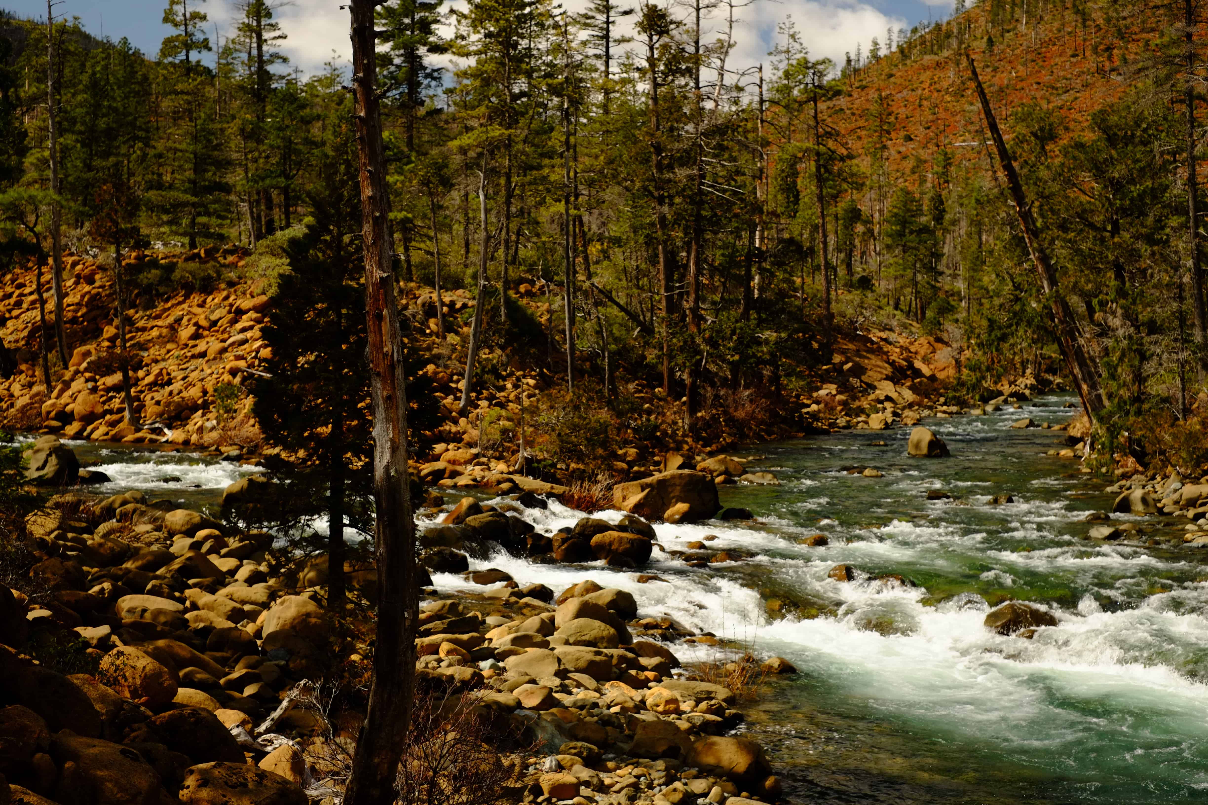
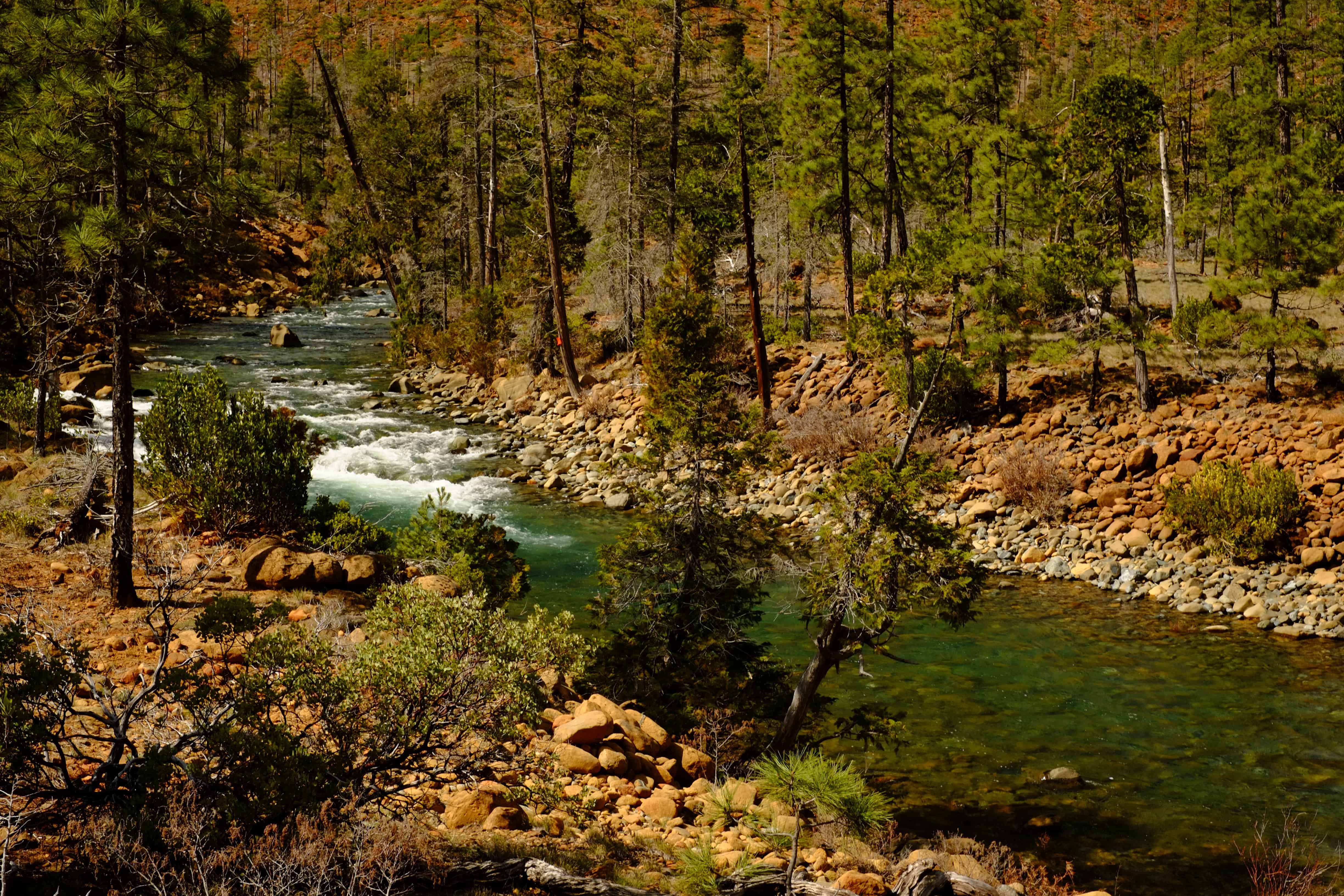
A lot of hope and heartache lies in the weathered ridges that make up Rough and Ready Creek’s watershed. Through them, a blue ribbon sometimes fraught with white, carves its winding canyon. Above the water, the isolated ridge top plateaus are the remnants of an ancient flatlands, the Klamath Peneplain, that once existed here and fostered the build-up of the minerals that have been the source of so much speculation since their discovery in the mid nineteenth century.

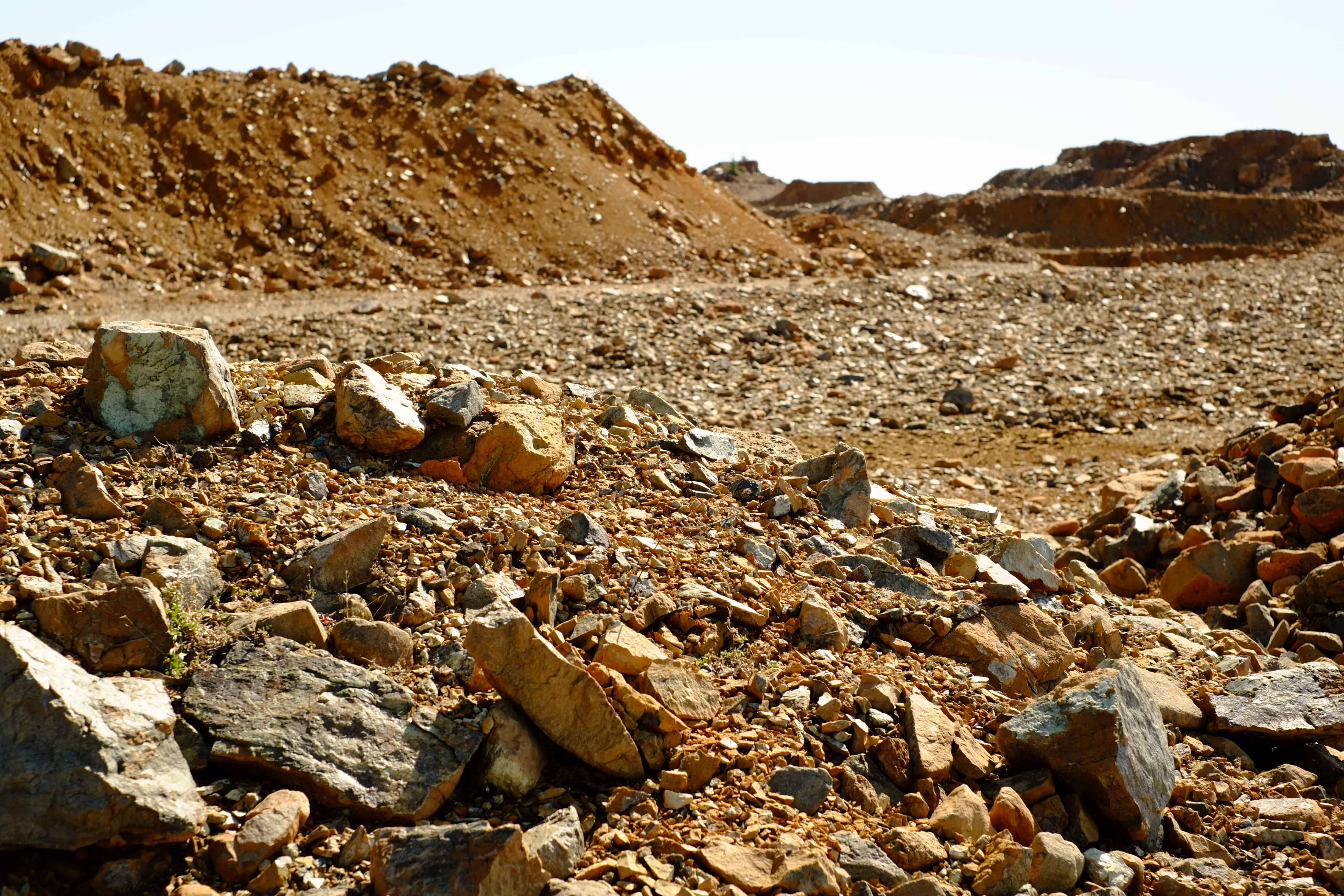
The laterite soils on the ridges and hillsides are easy enough to spot by their rusted hues. Formed over a million years ago, they exist on the surface and are sometimes topped with a deteriorated cap of iron pellets, or “iron shot”. This layer’s resemblance to shotgun pellets has been paralleled over the years by a scattershot of approaches to strip mine the low concentrations of nickel and other metals beneath it. At the same time, residents of the Illinois Valley along with botanists from around the world have taken notice of the unique plant communities that have adapted to live in the region’s uncommon soil.
Congress recognized the area’s storied rare plant diversity and crystal clear rivers in 1964 with the creation of the Kalmiopsis Wilderness. Recent attempts to add to the Kalmiopsis’s 179,755 acres however, have been met with inaction despite strong support from Oregon’s congressional delegation. Under the burden of the Mining Act of 1872, land management agencies say they have no authority to prevent the development of mines, even in the parts of the Rough and Ready Creek watershed the US Forest Service recommended for wilderness designation.
In a letter dated March 13, 1973, C.A. Dowd on behalf of the Hanna Mining Company pressed then state geologist for Southwest Oregon, Len Ramp: “The Hanna Mining Company strongly feels that its activity of exploration in the area of Woodcock Mountain and peripheral areas are substantial reason why this general area called Rough and Ready should not be considered for future potential wilderness.” Mr. Dowd’s letter came twenty three years after the Hanna Mining Company first staked claims in the area and followed a 1949 report by the Oregon Department of Geology and Mineral Industries that indicated unfavorable conditions for economically viable nickel deposits.
Even earlier in 1956, another company, Chemical and Metallurgical Enterprises Incorporated, was investigated for possibly overstating the extent of other deposits in the area to investors. More recently, the 5,000 acre Nicore Claims Group was invalidated by a series of court decisions, which concluded the claims lacked sufficient mineral discovery of a valuable deposit.
Prior to these court decisions, opposition to the Nicore Nickel Mine project in the 1990’s was strong and echoed earlier community concerns about a mine proposal in the late 1970’s. Out of the nearly 4500 comments the Forest Service received regarding the Nicore claims, fewer than 10 letters were in favor of the mine being developed. Still, within the framework of the Mining Act of 1872 the Forest Service could only insist the mine’s owner provide sufficient proof the mine could operate at a profit, but had no ability to prevent it from moving forward.
Despite the public outcry over the proposed Nicore Mine, its owner, after seeing those claims invalidated formed a new company and located an additional 1480 acres of claims in the same area, while still challenging the invalid ruling on the Nicore claims.
RNR Resources is currently moving forward with a plan to develop the new claims with a proposal that is nearly identical to the Nicore project before it. The big difference is the addition of an ore processing facility located on the Rough and Ready Creek Area of Critical Environmental Concern. The RNR Mine Plan proposes the construction of haul roads between the mine and smelter that along with multiple stream crossings, carries the near certainty of introducing Port Orford Cedar Root Disease into the watershed.
Without fail, the archaic provisions within the Mining Act of 1872 put short sighted development ahead of the long term survival of communities and the land around them. It has been proven time and again and led an earlier Josephine County resident to opine, “…and perhaps above all she has the inherent vice of all mining communities, that for every dollar taken from her mineral deposits she is one dollar poorer. There is no accumulation; there is no heaping up by one generation for the generation which is to follow.” – Dr. Watkins, 1869.
Unless its watershed and surrounding botanically rich federal public land is withdrawn from mining, acquisition and the location of new claims under the 1872 Mining Law, Rough and Ready Creek will continue to be subject to the whims of market prices that care little for its one of a kind watershed. Rough and Ready Creek is qualified to become a National Wild and Scenic River. Its host to the highest concentration of rare plants in Oregon and much of it’s watershed is in the extension of the Kalmiopsis Wilderness that was recommended by the Bush Administration in 2004.
Learn more about what you can do to help at www.roughandreadycreek.org

Thank you KS Wild, Friends of the Kalmiopsis, Geos Institute, and Watershed for providing support and equipment for this story.
