The following is an adapted section from Rivers of an Unknown Land: A Whitewater Guide to the Former Soviet Union. The author Vladimir Gavrilov will be leading a trip to these rivers in July of 2016.
Boating season: July to September
Put in: Town of Sofiysk
Take out: Town of Urgal
Put in elevation: Approximately 1600m (5248ft)
Trip length: 323km (200mi)
Route time: 15-17 days
Logistics: From Moscow to Khabarovsk by plane, to Sofiysk by plane or train and truck. From Urgal to Khabarovsk by train.
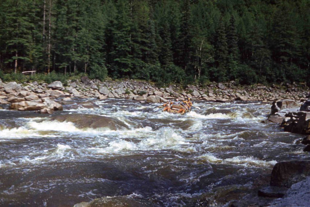
The valleys of the Akishma, Bureya, and Niman rivers are closed into “a horseshoe” formed by the chains of Turan, Ezop, Dusse Alin’, and Bureinskiy ranges. The altitude of this area reaches 2000m. In the south Bureya River running out to the plain and joins the Amur River. This area belongs to one with the most rigorous climate and nature conditions in the Far East. It lies in the eternal frost area with average temperature of rafting season about 15 (July), 13 (August) and even 6.3 (September) degrees Celsius above zero. In average there are 10 days of rain in July, 9.2 in August. Flash floods are very common.
Almost the entire route lies in the taiga zone where larch and birch prevail. The ground is covered with a deep carpet of moss. There are a lot of swampy areas here. There are no trails and roads nearby.
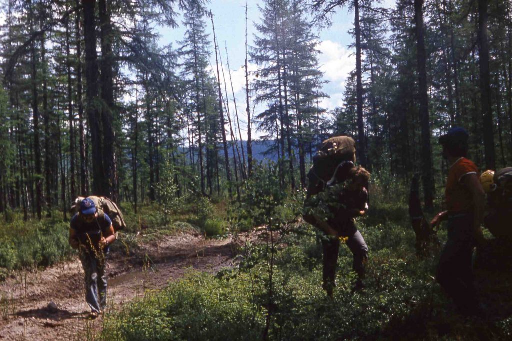
The fauna is very rich and certainly you have a very good chance to meet some of its representatives. These are the deer, the elk, the sable, bears; the she?bears with cubs may be dangerous for people. There are few birds here, but the fishing is excellent. There are no blood-sucking insects here in August. Our first contact with bears was on our trip to Akishma. Actually we did not see them, but several mornings we found very fresh tracks on the sand around our tents. We also saw a warehouse near the winter hunting shelter with door broken by bear looking for food.
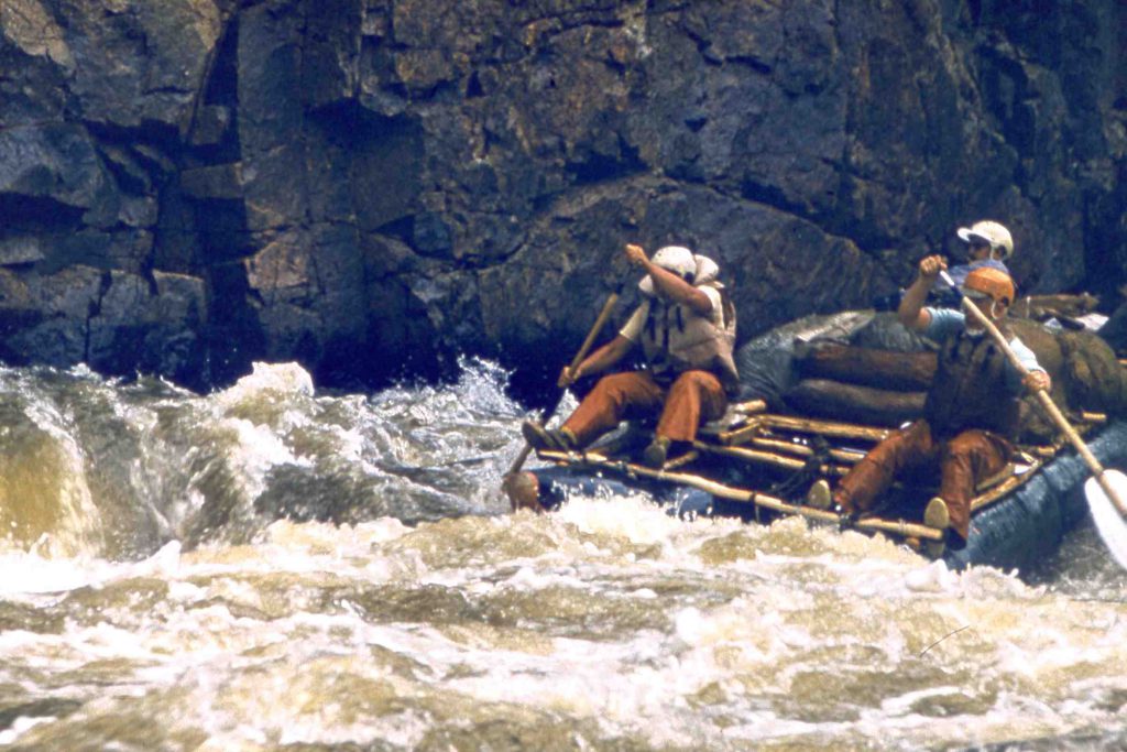
The local population ? the Yakuts and the Evenks ? is very small. Most of the population are Russians who practice gold mining. The area can be considered the Russian Klondike. Its exploration in the end of the previous century was connected with the gold search.
The active part starts in town Sofiysk, gold mining center, than can be reached from Khabarovsk through Chegdomyn by plane or from Chegdomyn by truck (about 200km). The road is awful. You will remember it for the rest of your life.
“The road is awful. You will remember it for the rest of your life.”
We point out again that the route lies in the hardly approachable and almost unpopulated area, so remember that your task will be to run the entire river. There are some possibilities to leave the river, but only after the Lower Tube of the Niman River. 20 km from Sofiysk to the start point can be passed by 4-wheel-drive vehicle.
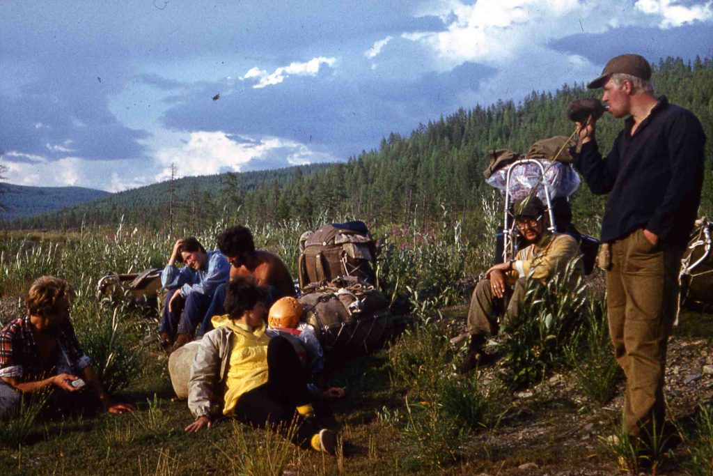
The river part consists of three rivers: the Akishma (152km), the Niman (125 km) and the Bureya (45 km). The first of them is the best and most interesting for whitewater runners. We must point out especially that the difficulty of obstacles we give here corresponds of average water levels, close to ideal for this river. As a result of monsoons, it can increase dramatically and the river, especially its lower part, can become very dangerous.
Running the Akishma and Niman
Section 1: The section between the put-in (radio point) and the Taloma mouth is 41 km long and rather simple. There are many creeks feeding into the river here.
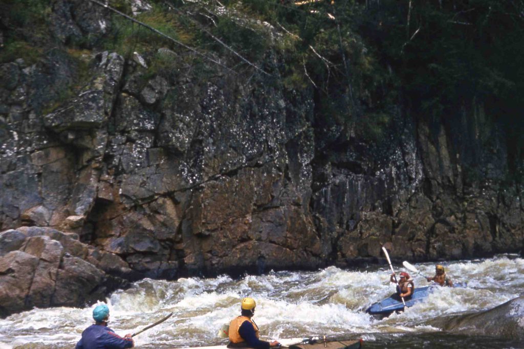
Section 2: The Taloma?Ogibkan part is 80 km long. Fast sections appear and rocks are in the riverbed. There are 83 obstacles on this section; however, none of them are very serious. Difficulty does not exceed Class II at medium water levels. Banks along this section are wonderful.
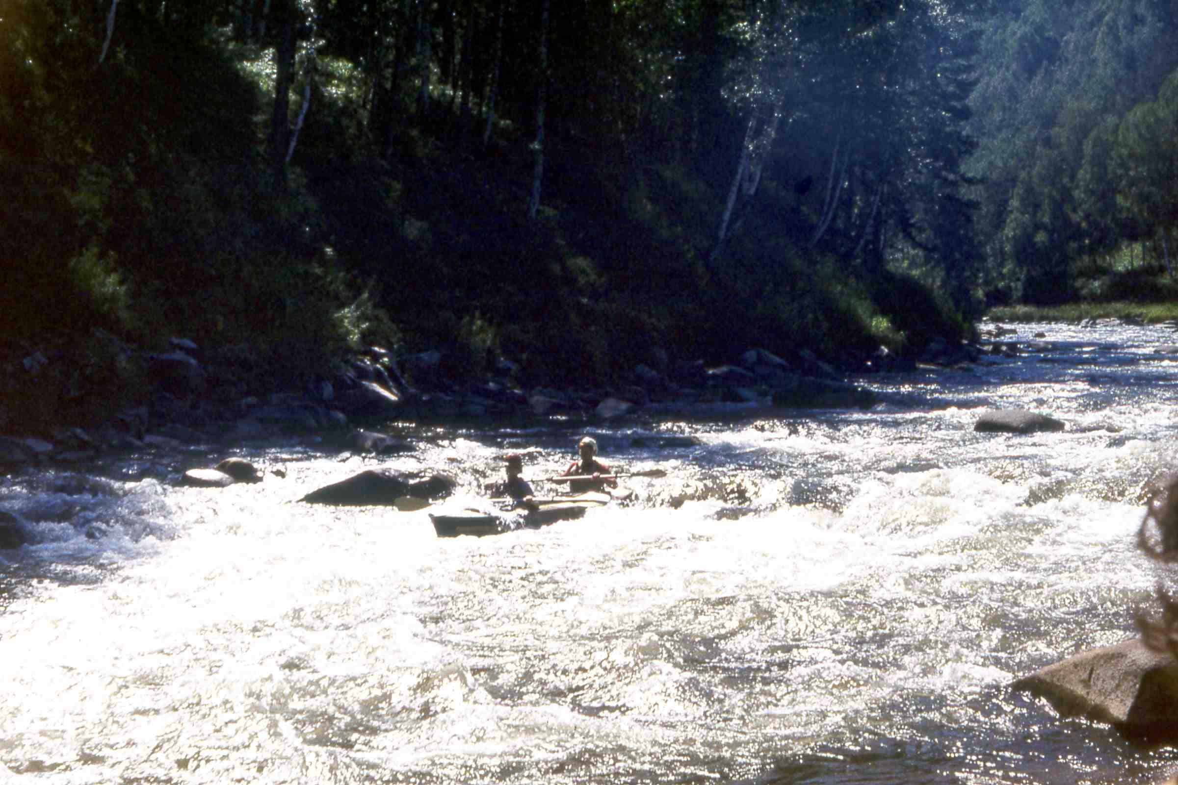
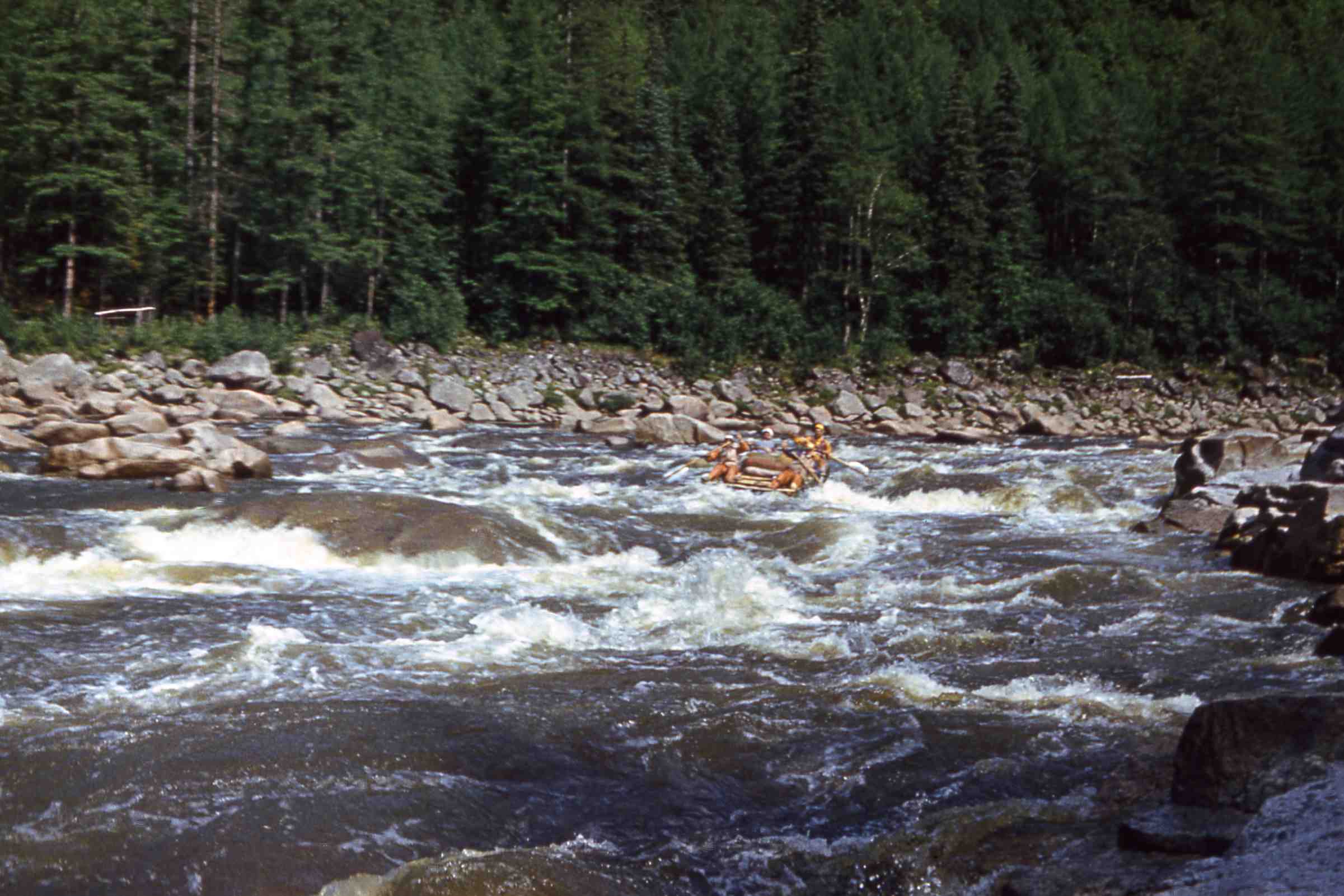
Section 3: The Ogibkan?Atlants rapid section is 17.5 km long. This is the most complicated and interesting part of the river. We should point out that from Rapid 107 to the “Atlants” there won’t be any place for camping. Immediately below the Ogibkan there are two rapids (obstacles 84-85) with big waves and many rocks. Then you will face three complicated rapids that are class IV and V. “Corridor” is the narrowest place of the canyon. These places are really beautiful.

Vladimir Gavrilov’s book Rivers of and Unknown Land is a complete guide to rafting and kayaking in the former Soviet Union. You can purchase a copy from him directly via PayPal.
