Here is some general advice about running low water trips (below 2.2 feet) on the Middle Fork of the Salmon River.
- Consider flying all of your people and equipment into Indian Creek to avoid the most difficult sections at low water.
- If you do launch from Boundary Creek pack light and fly as much gear as possible into Indian Creek. I recommend Gem Air.
- Deflate your tubes. Then deflate them some more. If you’re getting stuck often then deflate them even more.
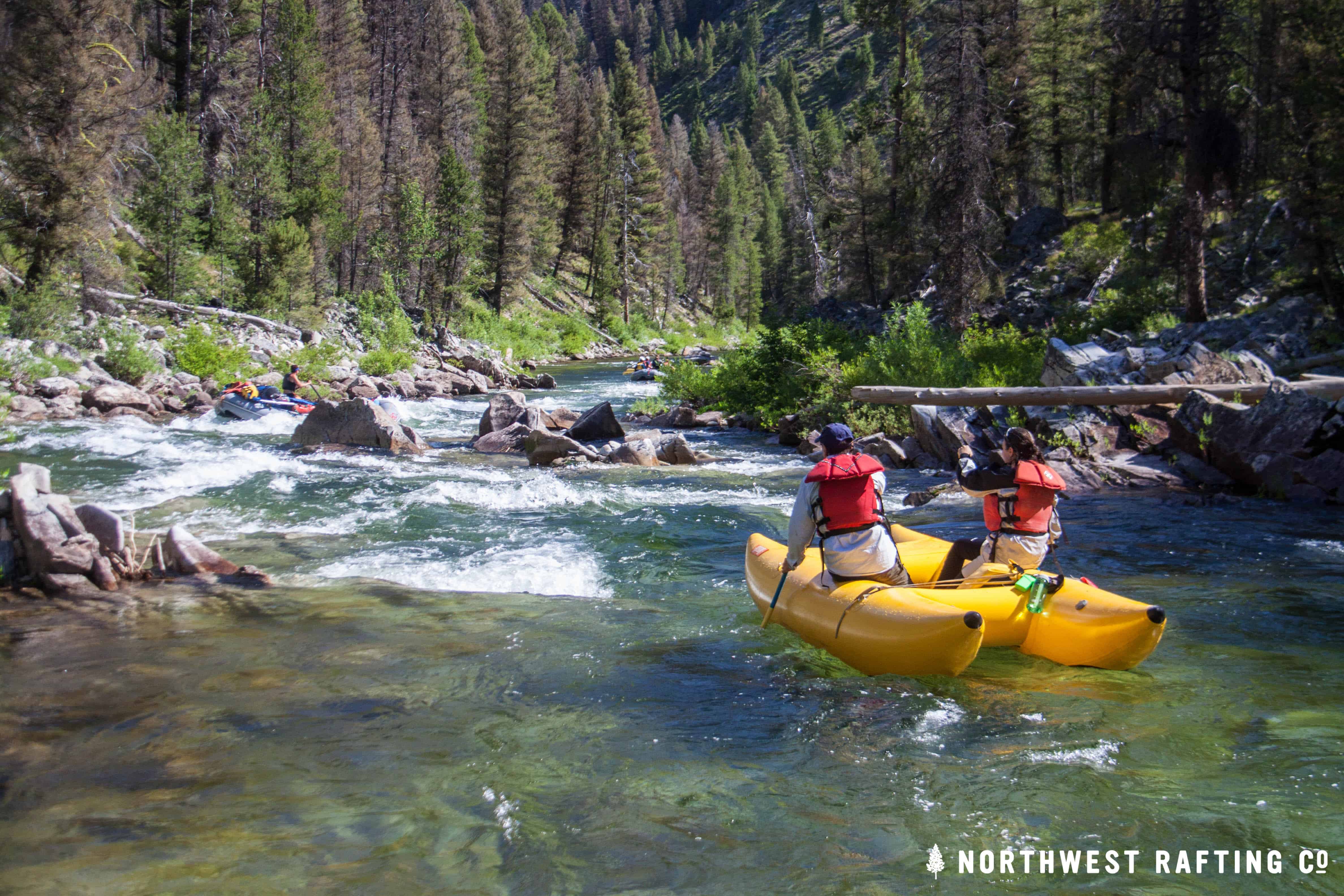
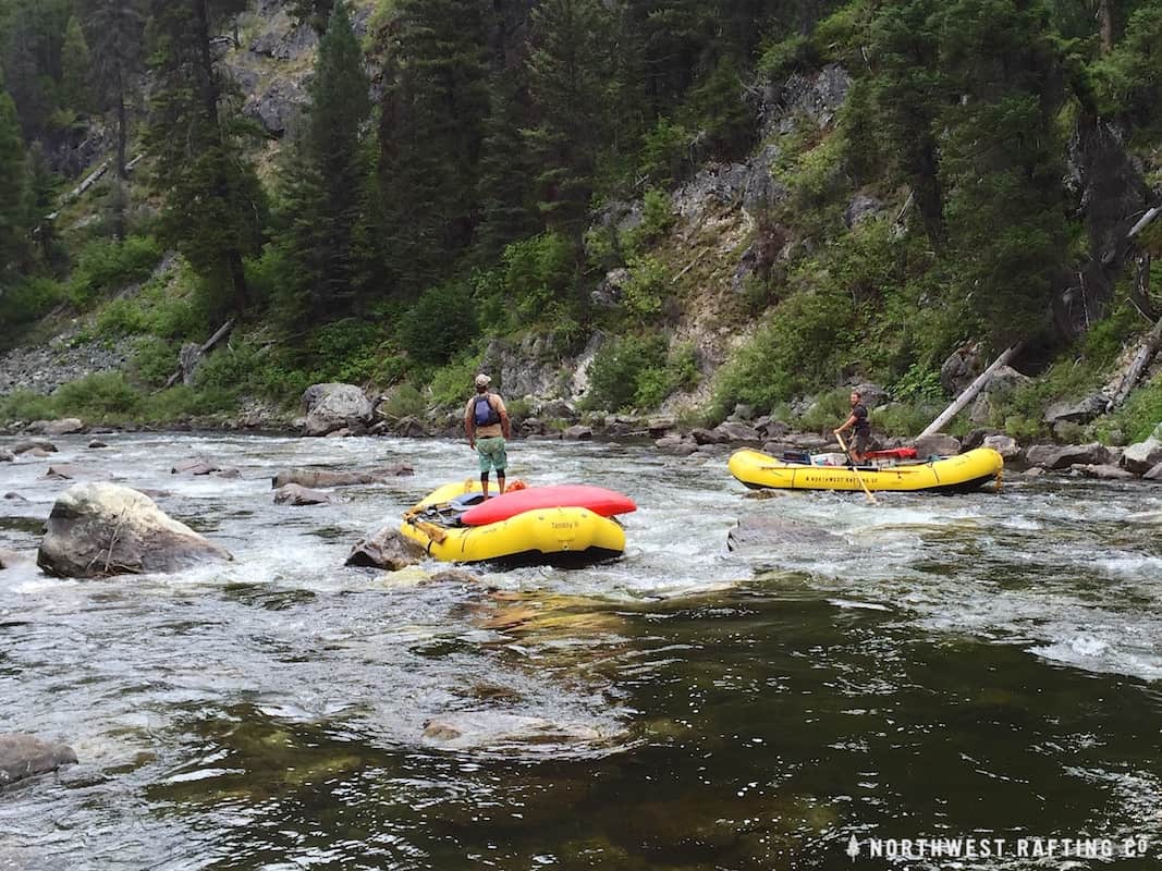
- Avoid boat pile ups with proper boat spacing. Let boat ahead of you get through the crux of a rapid before entering.
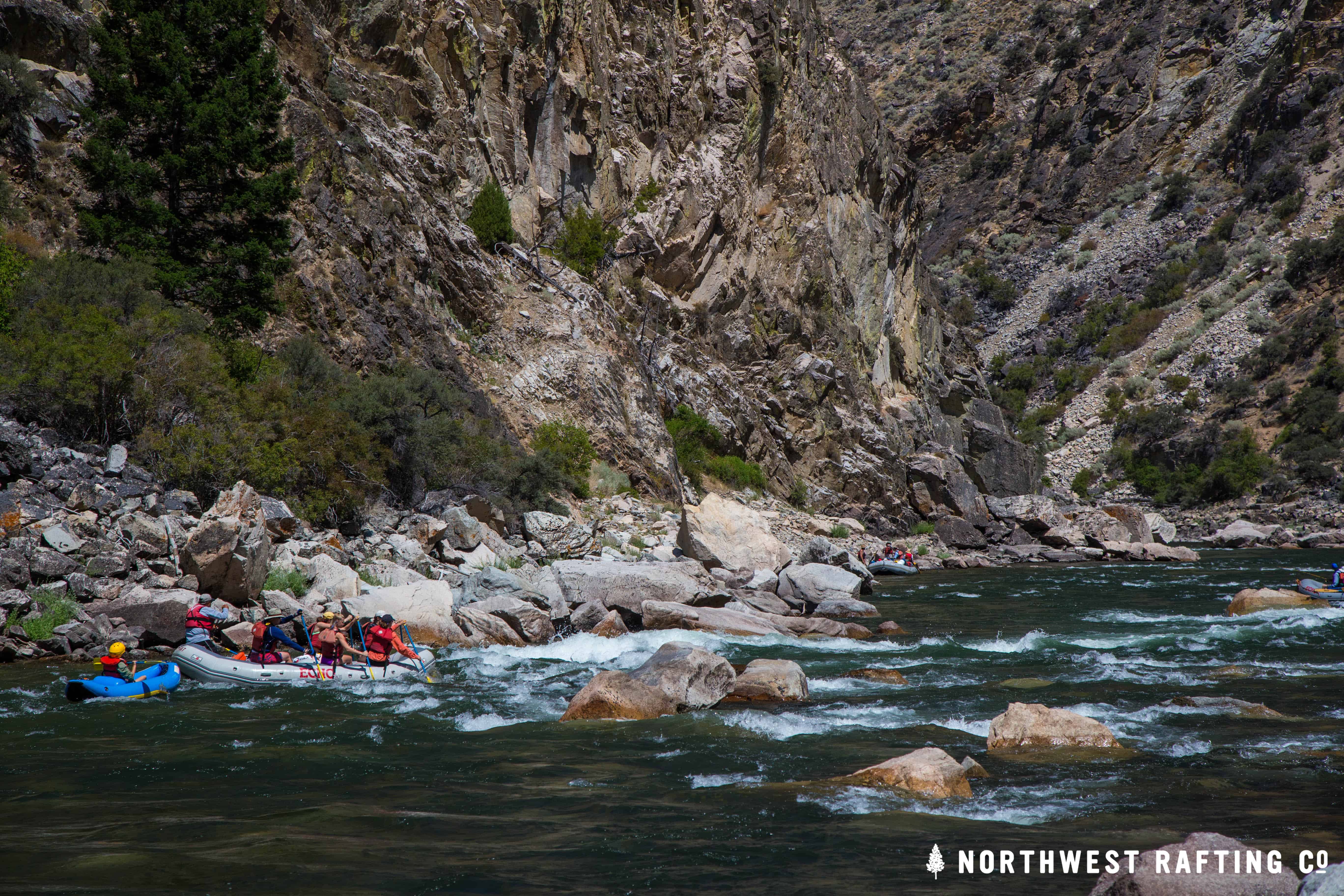
- Wear sturdy shoes and your PFD since you’ll be getting stuck and pushing your boat off rocks. Your oars are likely to be flying around so a helmet is a good idea too.
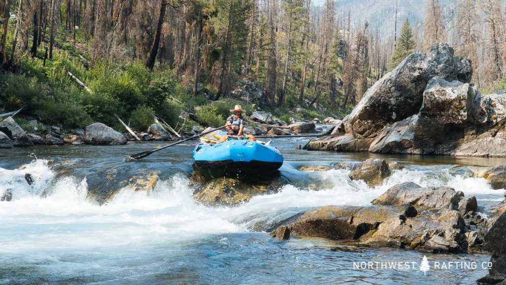
- You are going to hit rocks so choose which ones to hit wisely and try to spin off (“Spin to Win”) with some momentum.
- Make sure you’re with a solid team of good hearted people. A successful long, hard day on the Middle Fork with friends is about as good as it gets!
Challenging Rapids at Low Water
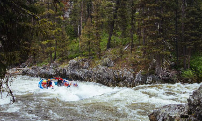
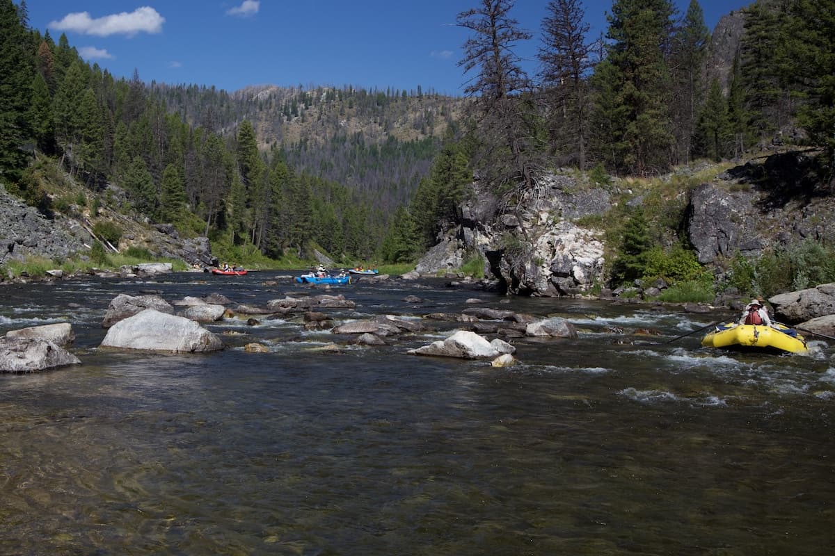
Below is a mile-by-mile guide for some of the most challenging places at low water and there are many more spots that deserve your attention. Please also be aware that the Middle Fork is a wilderness river with rapids and river conditions that change quite often. There is no substitute for good judgement and experience.
Mile 0.1: First Bend Rapid will give you a sense of the many tight moves downstream. Enter on the far left and be ready for a hard left move at the bottom to avoid getting stuck on the right bank and blocking the channel. Proper oar management and boat spacing are particularly important here.
Mile 1.8: At Door’s Rock aka Laddor’s Rock the river takes a sharp bend to the left. Stay to the inside of the bend and after the entrance aggressively drive left of Door’s Rock. Wraps are much more likely on this rock at lower flows. Make an aggressive move back to the center after you pass the rock.
Mile 2.5: Pinball aka Coral Reef is a place where the river spreads out with many choices. Only one series of choices will get you through here and most boats get stuck a couple times. There is a clean line that begins in the center and then follows the left bank.
Mile 3.2: It’s easy to scout the tricky entrance to Sulfur Slide from the left bank. Enter on the left side and get back to the center after you pass the obvious wrap rock. At the bottom stay right for the entrance of Lower Sulphur Rapid just downstream.
Mile 4.7: The entrance and first hundred yards of Hell’s Half Mile are particularly tough and there are some bad places to get stuck here. You want to start center and aggressively move left through shallow, rocky water in order to get through the entrance.
Mile 5.3: The entrance to Velvet Falls comes quickly and has a couple options. You can go between two rocks or go far left but you need to decide early and stick with your plan. At the falls proper it’s fairly easy drop over the center with bigger boats or make the left move with smaller boats.
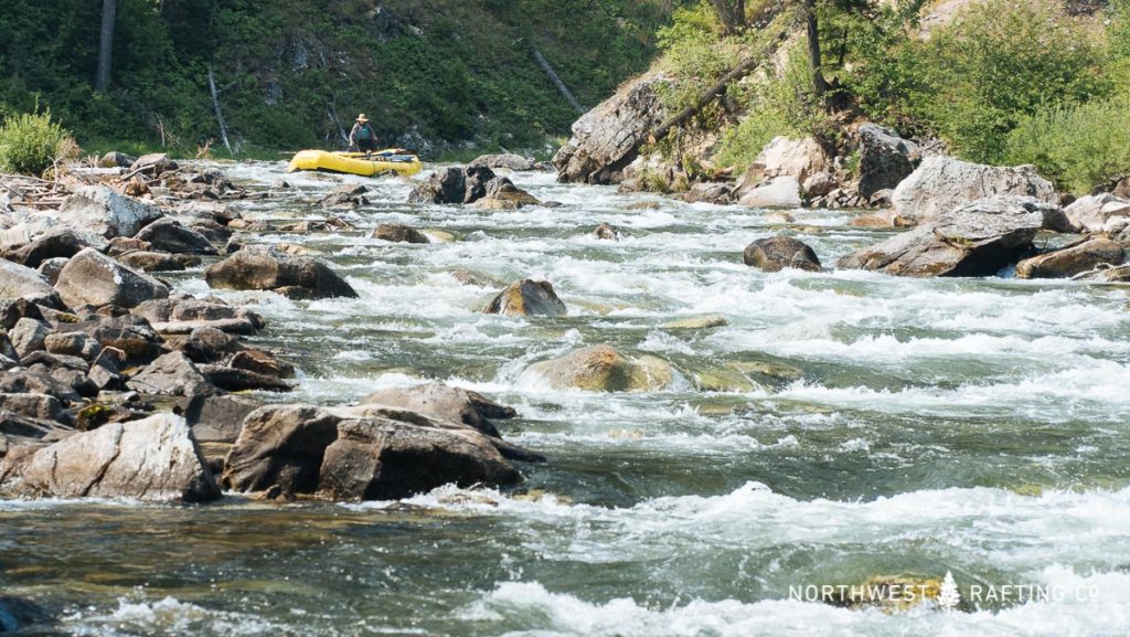
Mile 7.7: Avalanche Atolls aka Upper Chutes are two sets of shallows just past the hot springs at Trail Flat. Like Coral Reef there are several lines and you’ll probably get stuck and have to get out and push. Start just left of center and exit left. The right and left channels look okay but will likely get you into trouble.
Mile 7.9: The Chutes is the most technical rapid at low water and should be scouted. Enter in the center and drive left of the big rock. Once you make it past the rock there are several other places to get stuck. This is a great place to practice your “spin to win” technique.
Mile 11.5: As you can imagine Upper, Middle, and Lower Powerhouse Rapids are also tricky. If you’ve made it this far you should be confident in your ability without being overconfident. Middle Powerhouse is the rapid that begins after the river bends to the right. There is a tricky move to get your boat right of the famed “Shark Rock” in Middle Powerhouse.
Mile 17.5: Artillery Rapids have several places known to wrap boats. Stay alert and highside if you need to!
Mile 22.1: Pistol Creek Rapid is commonly scouted at low water. In the entrance most water goes left and there is a nasty rock in the center of the left channel. You’ll need to decide if you’re going right or left of the nasty rock. Once you’ve made it past the entrance, the main rapid will seem fairly easy. Things generally start getting easier after Pistol Creek adds much needed water to the main river.
Mile 36.6: Just past the Hood Ranch is a shallow gravel bar that shifts each year. Pay close attention to where the water is going and prepare to get out and push.
Mile 60.5: Just past Camas Creek is a shallow section that also causes trouble. Make a conscious effort to get left before you see Camas Creek enter on the right.
Mile 70.5: The move at Earthquake Rock gets especially tight at lower water and you will likely want to go left of the rock. There is a dangerous boulder sieve in the entrance on the left side so start center and then drive left. You can also try and squeeze your boat right of the rock.
Mile 93.2: Devil’s Tooth is named for a rock that appears in the main channel at low water. Try and build up some momentum as you go through this main chute and make sure to have good boat spacing in case a raft gets stuck. This is one of the most difficult rapids at low water.
Mile 93.2: At lower flows you will likely need to run House of Rocks Rapid down the center. There is a dangerous boulder sieve on the right that needs to be avoided. Kayakers should consider running the shallow far left line here.
Mile 93.8: Jump Off Rapid has a dangerous boulder sieve at the bottom on the left.
This is not a complete list of places to be careful, so please pay attention and use good judgement at all times! If you are an experienced Middle Fork boater and have any additional advice please add your comments below.